


President Obama has acted to protect a 4,913-square-mile area off the Massachusetts coast. President Obama has protected more land and water than any other American president.
"President Obama announced the creation of the first national marine monument in the Atlantic Ocean," according to Tovia Smuth.
"The 4,913-square-mile Northeast Canyons and Seamounts Marine National Monument is the size of Connecticut and has been called an 'underwater Yellowstone' and 'a deep sea Serengeti,'" according to Smith.
In a separate article, Katie Herzog notes that President Obama's actions "means that commercial fishing will be phased out of the region, and resource extraction such as mining and drilling will be prohibited."
According to Smith, the designation has already sparked strong opposition from representatives of the fishing industry.
The president's Twitter feed shared his remarks in announcing the Northeast Canyons and Seamounts Marine National Monument, at the Our Ocean conference in Washington, D.C.
"My administration has protected more waters than any in history." —@POTUS on his conservation record: https://t.co/SE4nnqkQRS
— The White House (@WhiteHouse) September 15, 2016
FULL STORY: Obama Designates 1st Marine National Monument In The Atlantic Ocean

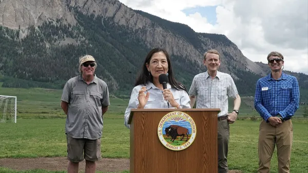
Commentary: Colorado Will Forge Ahead With Conservation Work
While federal policy may become less friendly to environmental efforts, support from state legislators and agencies can prevent the state from backsliding.
California Approves $10 Billion Bond for Water, Clean Energy, and Environmental Projects
Funds will be used to support water, wildfire prevention, environmental, and park projects, reflecting strong public support for climate resilience.
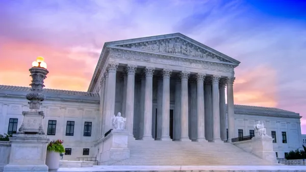
SCOTUS Hamstrings Federal Agencies, a Blow to Housing and Health Equity
The Supreme Court has overturned the legal precedent Chevron deference. Without the authority to interpret ambiguities in regulations, the critical work of HHS and HUD could suffer.

National Parks Layoffs Will Cause Communities to Lose Billions
Thousands of essential park workers were laid off this week, just before the busy spring break season.

Retro-silient?: America’s First “Eco-burb,” The Woodlands Turns 50
A master-planned community north of Houston offers lessons on green infrastructure and resilient design, but falls short of its founder’s lofty affordability and walkability goals.

Delivering for America Plan Will Downgrade Mail Service in at Least 49.5 Percent of Zip Codes
Republican and Democrat lawmakers criticize the plan for its disproportionate negative impact on rural communities.

Test News Post 1
This is a summary

Test News Headline 46
Test for the image on the front page.

Balancing Bombs and Butterflies: How the National Guard Protects a Rare Species
The National Guard at Fort Indiantown Gap uses GIS technology and land management strategies to balance military training with conservation efforts, ensuring the survival of the rare eastern regal fritillary butterfly.
Urban Design for Planners 1: Software Tools
This six-course series explores essential urban design concepts using open source software and equips planners with the tools they need to participate fully in the urban design process.
Planning for Universal Design
Learn the tools for implementing Universal Design in planning regulations.
EMC Planning Group, Inc.
Planetizen
Planetizen
Mpact (formerly Rail~Volution)
Great Falls Development Authority, Inc.
HUDs Office of Policy Development and Research
NYU Wagner Graduate School of Public Service