


Treepedia is MIT's effort to collect a complete resource on the tree cover of city streets.

Treepedia is a growing resource on city trees. The website maps tree information onto visuals from Google Maps. "Rating a huge number of street corners for the relative greenery of their appearance, Treepedia also allows browsers to click on a series of dots that reveal street view images of the location in question," writes Feargus O'Sullivan for CityLab.
While the site currently only maps around ten cities, it's a growing resource that could someday contain information about streets all over the world. The tool should allow residents to compare neighborhoods within their cities and cities to each other. Giving a visual, quantifiable testament to tree cover may make it easier to examine the issue in terms that are concrete and compelling.
FULL STORY: Mapping the Urban Tree Canopy in Major Cities

Growing Green: How Parks and Trees Shape Honolulu’s Future
Honolulu is expanding its urban tree canopy through community-driven park revitalization efforts, emphasizing the environmental, social, and cultural benefits of trees in creating a more resilient and equitable city.
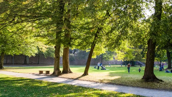
New Study Shows How Urban Trees Improve Public Health
Louisville's Green Heart project demonstrates that strategically planting trees in underserved neighborhoods can significantly reduce inflammation levels, highlighting the health benefits of urban greenery through a novel, data-driven approach.
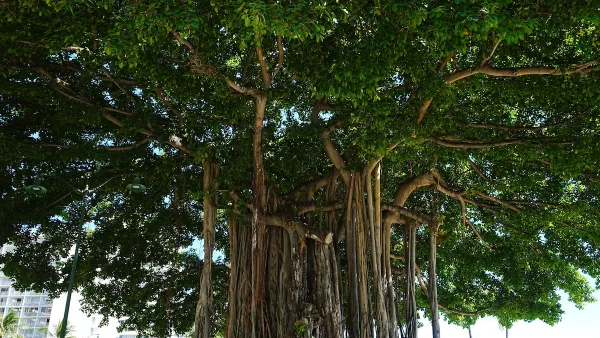
Invasive Beetles Put Oregon Forests at Risk
Two recently discovered borer beetles could lead to a significant loss of tree canopy.

Analysis: Cybertruck Fatality Rate Far Exceeds That of Ford Pinto
The Tesla Cybertruck was recalled seven times last year.

National Parks Layoffs Will Cause Communities to Lose Billions
Thousands of essential park workers were laid off this week, just before the busy spring break season.

Retro-silient?: America’s First “Eco-burb,” The Woodlands Turns 50
A master-planned community north of Houston offers lessons on green infrastructure and resilient design, but falls short of its founder’s lofty affordability and walkability goals.

Test News Post 1
This is a summary

Analysis: Cybertruck Fatality Rate Far Exceeds That of Ford Pinto
The Tesla Cybertruck was recalled seven times last year.

Test News Headline 46
Test for the image on the front page.
Urban Design for Planners 1: Software Tools
This six-course series explores essential urban design concepts using open source software and equips planners with the tools they need to participate fully in the urban design process.
Planning for Universal Design
Learn the tools for implementing Universal Design in planning regulations.
EMC Planning Group, Inc.
Planetizen
Planetizen
Mpact (formerly Rail~Volution)
Great Falls Development Authority, Inc.
HUDs Office of Policy Development and Research
NYU Wagner Graduate School of Public Service