


Greater Greater Washington likes what it sees from the District Mobility data portal.

"Rejoice, transportation wonks! DDOT's newest toy, the District Mobility data portal, is a deep dive into how Washingtonians use DC streets."
That moment of ebullience is written by Nicole Cacozza, who details the offerings available on the District Mobility data portal, from "ridership at individual bus stops, to which streets are safe for children to bike on." According to Cacozza the new data portal, the work of the District Department of Transportation's District Mobility Project, represents the most data on D.C. transportation ever complied into a single source.
"DDOT put this together so its workers will have easy access to the crucial information they need to plan and operate DC's streets," writes Cacozza. "It'll help identify problem areas, prioritize construction projects, and provide a benchmark to measure future progress."
Cacozza also pulls some of the most interesting takeaways from the portal, and asks for reader help in pulling more insights from the expansive archive of data.
FULL STORY: DDOT’s new statistics portal, District Mobility, is nirvana for data nerds


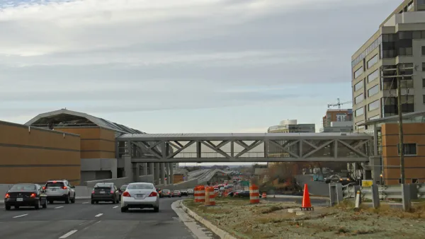
Key Virginia Rail Bridge Project Completes Environmental Review
A $1.9 billion project to add a second set of rail tracks to the Long Bridge that connects Virginia to D.C. is ready to move forward with a recently completed Environmental Impact Statement.
5 Transit Projects to Watch in the D.C. Region in 2020
Light rail, bus rapid transit, subway cell service, and more.

D.C. Speeds Up Protected Bike Lane Plans
The District Department of Transportation last week promised to double the pace of its planned construction of protected bike lanes, but advocates say the District still isn't doing enough to provide safe accommodations for people on bikes.

National Parks Layoffs Will Cause Communities to Lose Billions
Thousands of essential park workers were laid off this week, just before the busy spring break season.

Retro-silient?: America’s First “Eco-burb,” The Woodlands Turns 50
A master-planned community north of Houston offers lessons on green infrastructure and resilient design, but falls short of its founder’s lofty affordability and walkability goals.

Delivering for America Plan Will Downgrade Mail Service in at Least 49.5 Percent of Zip Codes
Republican and Democrat lawmakers criticize the plan for its disproportionate negative impact on rural communities.

Test News Post 1
This is a summary

Test News Headline 46
Test for the image on the front page.

Balancing Bombs and Butterflies: How the National Guard Protects a Rare Species
The National Guard at Fort Indiantown Gap uses GIS technology and land management strategies to balance military training with conservation efforts, ensuring the survival of the rare eastern regal fritillary butterfly.
Urban Design for Planners 1: Software Tools
This six-course series explores essential urban design concepts using open source software and equips planners with the tools they need to participate fully in the urban design process.
Planning for Universal Design
Learn the tools for implementing Universal Design in planning regulations.
EMC Planning Group, Inc.
Planetizen
Planetizen
Mpact (formerly Rail~Volution)
Great Falls Development Authority, Inc.
HUDs Office of Policy Development and Research
NYU Wagner Graduate School of Public Service