


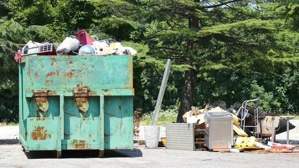
Data regarding ongoing demolitions of blighted properties in cities across the U.S. has turned up some unexpected consequences: the spread of lead toxins into the surrounding community.

Eilís O’Neill of The Nationreports on the potentially devastating environmental consequences of blight removal. Older homes being demolished will often contain lead-based paint that when released into the atmosphere can be inhaled and absorbed into the bloodstream of children nearby. Studies have shown the harmful impacts of elevated lead in the bloodstream of infants, including " learning disabilities, speech delays, hearing loss, lowered IQ, and increased hyperactivity and aggression."
In cities, such as Detroit, where removal of older homes is an ongoing process, children in the vicinity of the demolition are now showing elevated blood-lead levels.
...in 2016, according to the Michigan Department of Health and Human Services, the city’s blood-lead levels spiked. While this unsettling uptick coincided with increased testing of vulnerable populations, some critics say the sharp increase can’t be attributable to testing alone, and that the city is removing lead with one hand while adding it back with another.
For these critics, the blame for the spike lies with a federally funded “blight removal” program that is perhaps the biggest housing-demolition program in history.
O'Neill reports that currently there are three demolition strategies in use: the dry method which is the quickest and easiest, but tends to kick up the most dust; the wet-wet protocol, which includes wetting the house during the demolition process to keep most of the dust contained to within 350 feet of the site; and the newer Baltimore protocol, which covers the house in plastic and keeps the house wet with multiple hoses throughout the demo process. The Baltimore protocol has been shown to limit dust exposure to approximately within 60 feet of the demo site.
FULL STORY: Are We Doing All We Can to Prevent Lead Poisoning?


The Dangers of Demolition for Its Own Sake
Jason Hackworth argues that demolition has come to be seen as a good, in and of itself, in rust belt cities like Detroit; giving rise to policies that are wrong-headed and dangerous.

Proposed $250 Million Blight Removal Bond Fails in Detroit
The Detroit City Council dealt a blow to Mayor Mike Duggan by rejecting the mayor's signature blight reduction proposal.
Accused of 'Ambush-Style Eviction,' Detroit Land Bank Faces Lawsuit
A lawsuit, allowed to proceed by a Wayne County judge, reveals some of the difficulties of blight removal.

National Parks Layoffs Will Cause Communities to Lose Billions
Thousands of essential park workers were laid off this week, just before the busy spring break season.

Retro-silient?: America’s First “Eco-burb,” The Woodlands Turns 50
A master-planned community north of Houston offers lessons on green infrastructure and resilient design, but falls short of its founder’s lofty affordability and walkability goals.

Delivering for America Plan Will Downgrade Mail Service in at Least 49.5 Percent of Zip Codes
Republican and Democrat lawmakers criticize the plan for its disproportionate negative impact on rural communities.

Test News Post 1
This is a summary

Test News Headline 46
Test for the image on the front page.

Balancing Bombs and Butterflies: How the National Guard Protects a Rare Species
The National Guard at Fort Indiantown Gap uses GIS technology and land management strategies to balance military training with conservation efforts, ensuring the survival of the rare eastern regal fritillary butterfly.
Urban Design for Planners 1: Software Tools
This six-course series explores essential urban design concepts using open source software and equips planners with the tools they need to participate fully in the urban design process.
Planning for Universal Design
Learn the tools for implementing Universal Design in planning regulations.
EMC Planning Group, Inc.
Planetizen
Planetizen
Mpact (formerly Rail~Volution)
Great Falls Development Authority, Inc.
HUDs Office of Policy Development and Research
NYU Wagner Graduate School of Public Service