


Judging from a statistical analysis by Redfin, there is in fact a positive correlation between home values and transit access. But that only applies in areas where transit and walking are already common modes.
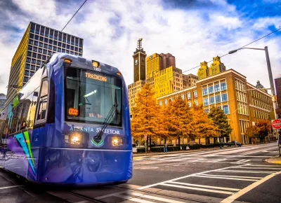
Pulling from a Redfin report, Joe Cortright discusses the relationship between home value and Transit Score. "What they find is that, after controlling for these other observable characteristics that we know influence home values, that each additional point of Transit Score is associated with an average of about $2,000 in higher home value."
But it's difficult to distinguish between the effects of walkability and transit access. "As a result, given the overlap between walkable neighborhoods and transit-served ones, its probably difficult, and maybe impossible, to tease out the separate contribution of the two factors."
Cortright concludes, "Measures like Walk Score and Transit Score (and a third sibling, Bike Score) are actually alternate ways of measuring a home's accessibility: how easy it is to reach a range of common destinations."
Another finding: the positive correlation grew more pronounced in places where transit, walking, and biking were already prevalent. But in places dominated by automobile travel, (relatively) high Transit Scores can actually decrease home value.
FULL STORY: Transit and home values

The Best Cities for Public Transit
Redfin released its updated transit scores for 2019 and, while there’s little change in the ranking, cities like D.C. and New York did see changes in their scores.

Most Livable Cities Revisited
This "livable cities" ranking considers transit, walkability, and bikeability.

Orlando Pledges to Improve Walkability
A city report highlights successes and failures in building safer transportation infrastructure and reducing VMT in 2023.

National Parks Layoffs Will Cause Communities to Lose Billions
Thousands of essential park workers were laid off this week, just before the busy spring break season.

Retro-silient?: America’s First “Eco-burb,” The Woodlands Turns 50
A master-planned community north of Houston offers lessons on green infrastructure and resilient design, but falls short of its founder’s lofty affordability and walkability goals.

Delivering for America Plan Will Downgrade Mail Service in at Least 49.5 Percent of Zip Codes
Republican and Democrat lawmakers criticize the plan for its disproportionate negative impact on rural communities.

Test News Post 1
This is a summary

Test News Headline 46
Test for the image on the front page.

Balancing Bombs and Butterflies: How the National Guard Protects a Rare Species
The National Guard at Fort Indiantown Gap uses GIS technology and land management strategies to balance military training with conservation efforts, ensuring the survival of the rare eastern regal fritillary butterfly.
Urban Design for Planners 1: Software Tools
This six-course series explores essential urban design concepts using open source software and equips planners with the tools they need to participate fully in the urban design process.
Planning for Universal Design
Learn the tools for implementing Universal Design in planning regulations.
EMC Planning Group, Inc.
Planetizen
Planetizen
Mpact (formerly Rail~Volution)
Great Falls Development Authority, Inc.
HUDs Office of Policy Development and Research
NYU Wagner Graduate School of Public Service