


Fans of transit maps will have to watch out for the new map of BaltimoreLink.
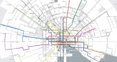
"Baltimore will soon be the latest American city to overhaul its bus network in an attempt to jumpstart ridership," reports Peter Dovak. "The plan, known as 'BaltimoreLink'," will go into effect on June 18. So far the best part is a really, really cool new map."
The Baltimore bus system reorganization follows the famous example of Houston, which reorganized its bus syetm in 2015 and is now one of the few systems in the country attracting on increased numbers of riders in recent years.
"The core of the BaltimoreLink plan is a dozen color-coded, high-frequency routes known as CityLink lines," explains Dovak. "They'll run 24 hours a day along Baltimore's downtown grid and then radiate out of the city in every direction, complimented by less frequent local and express lines."
A good portion of the article is devoted to the design of the Baltimore Link map, which a radial structure that allows for both a striking appearance and legible detail. A quick mention of the system re-structure's political origins—as a replacement for the aborted Red Line Subway project—is also included in the article.

FULL STORY: The map for Baltimore’s new bus system is positively radiant

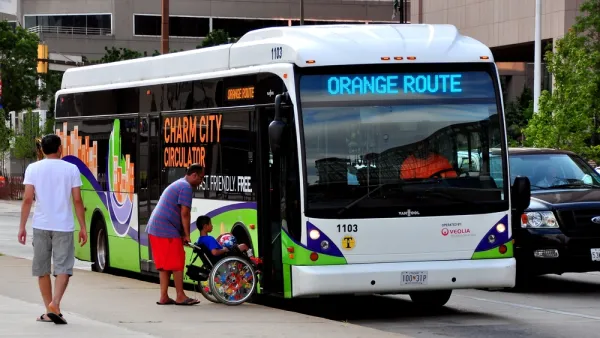
One-Year Later: Evaluating Baltimore's Overhauled Bus System
The $135 million BaltimoreLink bus system redesign launched in June 2017.
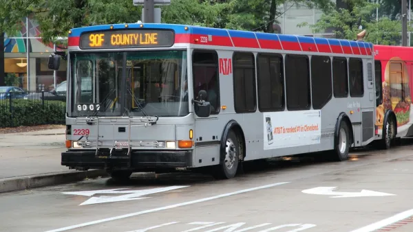
Bus System Redesign Coming to the Cleveland Region
The Greater Cleveland Regional Transit Authority (RTA) revealed a draft system redesign this week.
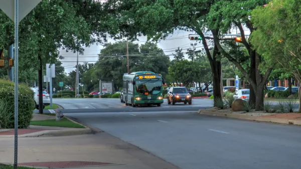
Bus System Redesign Boosts Ridership in Austin
Over a year after Capital Metro in Austin overhauled its bus system design, the system is bucking national trends and achieving growth in its ridership numbers.

National Parks Layoffs Will Cause Communities to Lose Billions
Thousands of essential park workers were laid off this week, just before the busy spring break season.

Retro-silient?: America’s First “Eco-burb,” The Woodlands Turns 50
A master-planned community north of Houston offers lessons on green infrastructure and resilient design, but falls short of its founder’s lofty affordability and walkability goals.

Delivering for America Plan Will Downgrade Mail Service in at Least 49.5 Percent of Zip Codes
Republican and Democrat lawmakers criticize the plan for its disproportionate negative impact on rural communities.

Test News Post 1
This is a summary

Test News Headline 46
Test for the image on the front page.

Balancing Bombs and Butterflies: How the National Guard Protects a Rare Species
The National Guard at Fort Indiantown Gap uses GIS technology and land management strategies to balance military training with conservation efforts, ensuring the survival of the rare eastern regal fritillary butterfly.
Urban Design for Planners 1: Software Tools
This six-course series explores essential urban design concepts using open source software and equips planners with the tools they need to participate fully in the urban design process.
Planning for Universal Design
Learn the tools for implementing Universal Design in planning regulations.
EMC Planning Group, Inc.
Planetizen
Planetizen
Mpact (formerly Rail~Volution)
Great Falls Development Authority, Inc.
HUDs Office of Policy Development and Research
NYU Wagner Graduate School of Public Service