


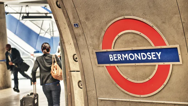
Transport for London has responded to customer requests for a new accessibility measure: a map to help riders avoid long tunnels.

Fewer than half of the London Underground's 270 stations are actually underground, reports Metro Magazine. But sections that are can be uncomfortable, and make it especially difficult for claustrophobic or anxious transit riders to use the system (especially together with reported poor air quality in the subway cars).
To improve accessibility for all riders, Transport for London has published a new map highlighting parts of the transit network that are underground and suggesting routes that avoid long stretches of tunnels.
In the new design, parts of the lines have been given a grey overlay to illustrate which stations or sections of track are underground. The new map also shows which London Overground, DLR and TfL Rail services are in tunnels.
The tunnels map was initially suggested in customer feedback, and is part of TfL's broader campaign to improve user experience. Consultants in that effort are now working in California's Culver City, where a new Metro line is booming even as transit ridership in Los Angeles and throughout the nation continues to decline.
FULL STORY: Map to help people with claustrophobia, anxiety navigate London Tube

How London's Leading on Transit Data
Transport for London is forging ahead on several projects to collect and use more rider data. One initiative draws on WiFi connections to map users' paths through the London Underground.

Biking in London Grew by 20 Percent Since 2019
Pandemic-induced changes and improved bike infrastructure have contributed to the impressive growth of cycling as a mode share.
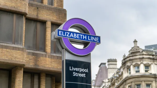
$22 Billion Elizabeth Line Finally Opens in London, With the Queen in Attendance
May 17, 2022 was a big day for transit in London.

National Parks Layoffs Will Cause Communities to Lose Billions
Thousands of essential park workers were laid off this week, just before the busy spring break season.

Retro-silient?: America’s First “Eco-burb,” The Woodlands Turns 50
A master-planned community north of Houston offers lessons on green infrastructure and resilient design, but falls short of its founder’s lofty affordability and walkability goals.

Delivering for America Plan Will Downgrade Mail Service in at Least 49.5 Percent of Zip Codes
Republican and Democrat lawmakers criticize the plan for its disproportionate negative impact on rural communities.

Test News Post 1
This is a summary

Test News Headline 46
Test for the image on the front page.

Balancing Bombs and Butterflies: How the National Guard Protects a Rare Species
The National Guard at Fort Indiantown Gap uses GIS technology and land management strategies to balance military training with conservation efforts, ensuring the survival of the rare eastern regal fritillary butterfly.
Urban Design for Planners 1: Software Tools
This six-course series explores essential urban design concepts using open source software and equips planners with the tools they need to participate fully in the urban design process.
Planning for Universal Design
Learn the tools for implementing Universal Design in planning regulations.
EMC Planning Group, Inc.
Planetizen
Planetizen
Mpact (formerly Rail~Volution)
Great Falls Development Authority, Inc.
HUDs Office of Policy Development and Research
NYU Wagner Graduate School of Public Service