


New research published in Applied Geography is a first step toward planning for the resilience of vulnerable populations as the heat rises in urban areas.

Annie Snead writes:
Although some people can just crank up the air-conditioning amid increasingly brutal heat, many cannot. Urban decision makers need to know where to focus resources as they plan their adaptation strategies, potentially as a matter of life and death. But how can they pinpoint the most vulnerable populations? In a recent study researchers answered this question for Philadelphia by mapping the places where residents are most at risk.
The study, by researchers at the Earth Institute at Columbia University and Battelle Memorial Institute, was recently published in Applied Geography. Among the findings of the study: a large spike in "extreme heat event" days in Philadelphia, while nearby rural areas showed no increases in extreme event heat days. Researchers also found an increase in "hotter than normal" nights.
Once the researchers combined the temperature data with demographic data, they "found that more than half a million people—about 10 percent of the population—inhabit neighborhoods that are most vulnerable to heat event health impacts," according to Snead.
FULL STORY: Too Sunny in Philadelphia? Satellites Zero In on Dangerous Urban Heat Islands


Key Climate and Health Issues to Watch in 2025
The escalating health impacts of climate change, from extreme heat to sea level rise, highlight the urgent need for integrated medical education, proactive communication, and sustainable policy solutions to protect public health.
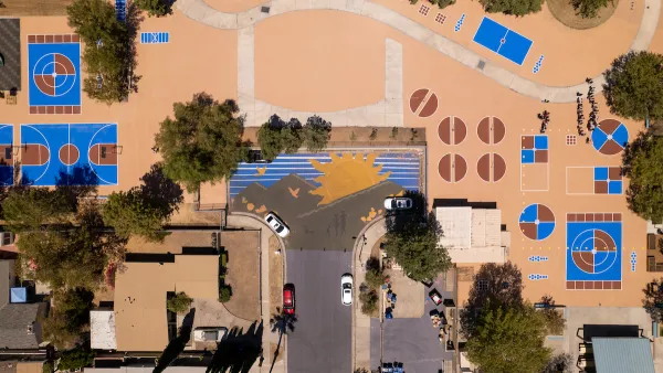
Cool Pavements Show Promise as Part of Urban Climate Resilience Strategy
Results from a pilot project in Los Angeles show that cool pavement treatments can serve as a key tool in a city’s climate resilience strategy.

How Extreme Weather Threatens Transit Systems
As weather events become more intense and unpredictable, transit agencies must take steps to protect their aging infrastructure from flooding, storms, and extreme heat.

National Parks Layoffs Will Cause Communities to Lose Billions
Thousands of essential park workers were laid off this week, just before the busy spring break season.

Retro-silient?: America’s First “Eco-burb,” The Woodlands Turns 50
A master-planned community north of Houston offers lessons on green infrastructure and resilient design, but falls short of its founder’s lofty affordability and walkability goals.

Delivering for America Plan Will Downgrade Mail Service in at Least 49.5 Percent of Zip Codes
Republican and Democrat lawmakers criticize the plan for its disproportionate negative impact on rural communities.

Test News Post 1
This is a summary

Test News Headline 46
Test for the image on the front page.

Balancing Bombs and Butterflies: How the National Guard Protects a Rare Species
The National Guard at Fort Indiantown Gap uses GIS technology and land management strategies to balance military training with conservation efforts, ensuring the survival of the rare eastern regal fritillary butterfly.
Urban Design for Planners 1: Software Tools
This six-course series explores essential urban design concepts using open source software and equips planners with the tools they need to participate fully in the urban design process.
Planning for Universal Design
Learn the tools for implementing Universal Design in planning regulations.
EMC Planning Group, Inc.
Planetizen
Planetizen
Mpact (formerly Rail~Volution)
Great Falls Development Authority, Inc.
HUDs Office of Policy Development and Research
NYU Wagner Graduate School of Public Service