


The Project NYC Subway is a transit and map lover's dream. The newest update to the project take the concept a step further.
"On the official map of the New York subway, each station is a tiny dot," writes Tanvi Misra. "But that representation obscures the labyrinth-like complexity of these structures, which can span two or more blocks and multiple levels."
Architect Candy Chan noticed the problem of navigation in these subterranean hubs and launched a project to create a visual study of New York City's most complex subway stations.
The resulting Project NYC Subway is a transit and map wonk's dream, so it's exciting news that Chan has recently updated the project with "a new series of sketches of stations and their surroundings along Broadway." The new series of images place the orientation of the subway stations in context of the city above. "Her new images contain tiny people and tall buildings for scale, as well as trees, sculptures, parks and squares—all of which 'actually matter in the urban setting,' [Chan] says."
The article includes four of the new sketches, of stations at 42nd Street – Times Square; 34th Street – Herald Square; 23rd Street – Madison Square; and 14th Street – Union Square.
FULL STORY: What New York Subway Stations Actually Look Like


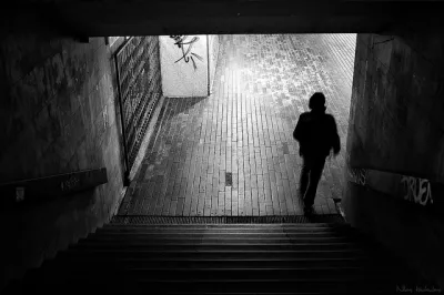
Friday Eye Candy: The Theatricality of the Subway
A new book of photography amplifies what was already there.
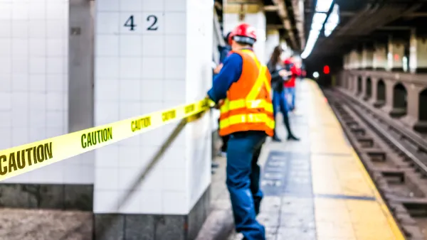
Why New York City's Flooding Its Own Subway Entrances
MTA reassured disoriented New Yorkers that it's flooding subway entrances on purpose, to test barriers that it hopes will guard the system against another Sandy.
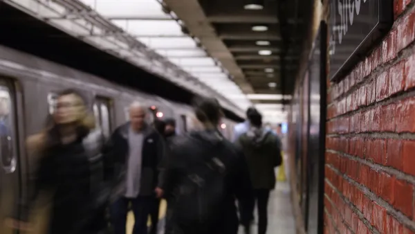
New York Subway Reaches One Billion Ride Milestone
The system’s 2024 performance is on track for its fastest growth since the pandemic.

National Parks Layoffs Will Cause Communities to Lose Billions
Thousands of essential park workers were laid off this week, just before the busy spring break season.

Retro-silient?: America’s First “Eco-burb,” The Woodlands Turns 50
A master-planned community north of Houston offers lessons on green infrastructure and resilient design, but falls short of its founder’s lofty affordability and walkability goals.

Delivering for America Plan Will Downgrade Mail Service in at Least 49.5 Percent of Zip Codes
Republican and Democrat lawmakers criticize the plan for its disproportionate negative impact on rural communities.

Test News Post 1
This is a summary

Test News Headline 46
Test for the image on the front page.

Balancing Bombs and Butterflies: How the National Guard Protects a Rare Species
The National Guard at Fort Indiantown Gap uses GIS technology and land management strategies to balance military training with conservation efforts, ensuring the survival of the rare eastern regal fritillary butterfly.
Urban Design for Planners 1: Software Tools
This six-course series explores essential urban design concepts using open source software and equips planners with the tools they need to participate fully in the urban design process.
Planning for Universal Design
Learn the tools for implementing Universal Design in planning regulations.
EMC Planning Group, Inc.
Planetizen
Planetizen
Mpact (formerly Rail~Volution)
Great Falls Development Authority, Inc.
HUDs Office of Policy Development and Research
NYU Wagner Graduate School of Public Service