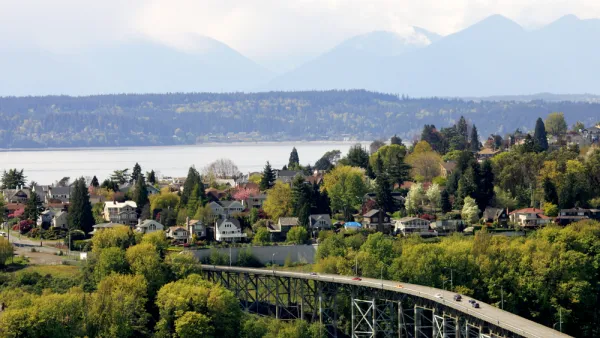
The city of Seattle provides the geography and market for a housing map that illustrates the differences between single-family and multi-family housing in terms of affordability.

Margaret Morales writes the text to accompany an ambitious new mapping project by the Sightline Institute. In the article, Morales introduces the story of a rental home comprising two units in Ballard, a neighborhood in Seattle, which was recently redeveloped into four rowhouses.
Where one home once stood, now there are 4. The homes in the new rowhouses are each, at 1,160 square feet, almost as big as the old house’s two units combined, which totaled 1,360 square feet. The rowhouses have two bedrooms and 1.5 bathrooms each. And, of course, they’re new, not a century old. They have dramatically improved insulation, wiring, plumbing, and safety features. They each sold in 2016 for more than $530,000, for a total of $2.3 million. That’s more than four and a half times the 2014 sale price of the old house, but of course, building them cost a lot, too.
Morales acknowledges that the story sounds like one of loss, and a developer getting rich while moving the city's housing stock further out of reach for most of the city's residents. But, Sightline also sees another side to the story—if the lot had been zoned for single-family zoning the blow to the city's affordability might have been worse.
To scale-up the implications of this story from Ballard, the Sightline team created a map in answer to the question: "Do multi-family homes, like the rowhouses in Devin’s story, or things like condominiums, townhomes, and the four-packs popping up across the city, offer Seattleites cheaper or more expensive housing options than single-family homes?"
The conclusion Morales gleans from the map: "Multi-family homes are offering Seattleites cheaper homeownership alternatives to single-family homes."
FULL STORY: MAP: WHERE MULTI-FAMILY HOMES MAKE SEATTLE NEIGHBORHOODS MORE AFFORDABLE

National Parks Layoffs Will Cause Communities to Lose Billions
Thousands of essential park workers were laid off this week, just before the busy spring break season.

Retro-silient?: America’s First “Eco-burb,” The Woodlands Turns 50
A master-planned community north of Houston offers lessons on green infrastructure and resilient design, but falls short of its founder’s lofty affordability and walkability goals.

Delivering for America Plan Will Downgrade Mail Service in at Least 49.5 Percent of Zip Codes
Republican and Democrat lawmakers criticize the plan for its disproportionate negative impact on rural communities.

Test News Post 1
This is a summary

Test News Headline 46
Test for the image on the front page.

Balancing Bombs and Butterflies: How the National Guard Protects a Rare Species
The National Guard at Fort Indiantown Gap uses GIS technology and land management strategies to balance military training with conservation efforts, ensuring the survival of the rare eastern regal fritillary butterfly.
Urban Design for Planners 1: Software Tools
This six-course series explores essential urban design concepts using open source software and equips planners with the tools they need to participate fully in the urban design process.
Planning for Universal Design
Learn the tools for implementing Universal Design in planning regulations.
EMC Planning Group, Inc.
Planetizen
Planetizen
Mpact (formerly Rail~Volution)
Great Falls Development Authority, Inc.
HUDs Office of Policy Development and Research
NYU Wagner Graduate School of Public Service


