


All yesterday's hurricanes.
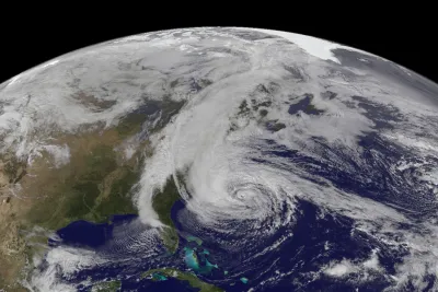
John Metcalfe writes: "Here's a way of looking at the atmosphere's tumultuous timeline that you've probably never seen before, courtesy of John Nelson at the 'data viz' website IDV User Experience."
"Nelson has taken storm-path data from NOAA from 1851 to 2010 that includes all recorded tropical storms and hurricanes, and laid it on a 'South Pole stereographic' map of the world," according to Metcalfe.
FULL STORY: A Map of All the World's Hurricanes Since 1851

NOAA Launching Storm Surge Mapping System
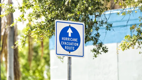
Americans tend to pay more attention to wind strength than storm surge when evaluating whether or not to evacuate before a hurricane. A new NOAA mapping project is designed to change perceptions about the multiple risks of storm events.

Post-Helene Reflections on Solastalgia and Community
Solastalgia is an increasingly relevant word that refers to the homesickness one feels when still at home, caused by distress due to environmental change in one’s home environment – for example, after a hurricane or wildfire.
Will Hurricanes Drive Away Florida’s Retirees?
Some children of Florida retirees are urging their parents to leave hurricane-prone areas for safer regions.

National Parks Layoffs Will Cause Communities to Lose Billions
Thousands of essential park workers were laid off this week, just before the busy spring break season.

Retro-silient?: America’s First “Eco-burb,” The Woodlands Turns 50
A master-planned community north of Houston offers lessons on green infrastructure and resilient design, but falls short of its founder’s lofty affordability and walkability goals.

Delivering for America Plan Will Downgrade Mail Service in at Least 49.5 Percent of Zip Codes
Republican and Democrat lawmakers criticize the plan for its disproportionate negative impact on rural communities.

Test News Post 1
This is a summary

Test News Headline 46
Test for the image on the front page.

Balancing Bombs and Butterflies: How the National Guard Protects a Rare Species
The National Guard at Fort Indiantown Gap uses GIS technology and land management strategies to balance military training with conservation efforts, ensuring the survival of the rare eastern regal fritillary butterfly.
Urban Design for Planners 1: Software Tools
This six-course series explores essential urban design concepts using open source software and equips planners with the tools they need to participate fully in the urban design process.
Planning for Universal Design
Learn the tools for implementing Universal Design in planning regulations.
EMC Planning Group, Inc.
Planetizen
Planetizen
Mpact (formerly Rail~Volution)
Great Falls Development Authority, Inc.
HUDs Office of Policy Development and Research
NYU Wagner Graduate School of Public Service