


When it's said that most people live in cities, a significant portion of that number are people living in suburbs near cities. A new map shows just how far everyone travels to get to a big city.
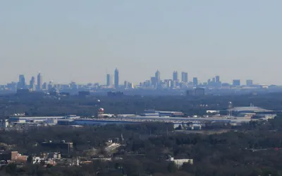
Jessica Stewart shares news of a new mapping project by the University of Oxford's Malaria Atlas Project, published by the journal Nature, by citing the oft-quoted-but-largely-misleading statistic about 50 percent of the world's population living in cities. The study's findings are more nuanced than that lede-friendly nugget: in 2015, 80.7% of all people lived within an hour of a city.
Other findings of the study including insight into the geography of poverty:
In some areas, like sub-Saharan Africa, access to the city is also a large indicator of wealth, with only 50% of people living in low-income areas residing within an hour of the city. This is in stark contrast to people living in high-income areas, as 90.7% of these individuals can reach the city in less than an hour.
The Malaria Atlas Project made its findings public as an interactive online map and data explorer.
FULL STORY: New Map Shows How Long It Takes People Around the World to Travel to the Nearest City


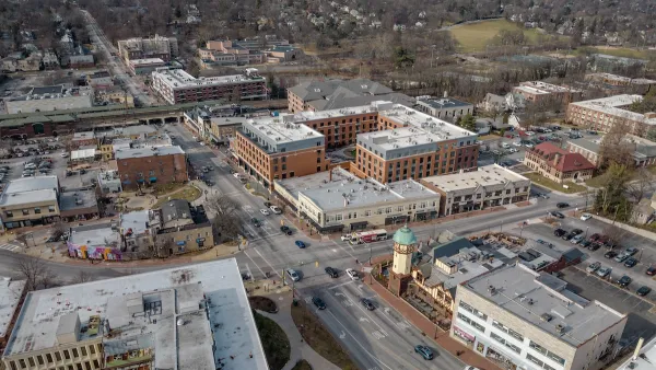
How to Define the Suburban: HUD Survey Sheds New Light
A new HUD survey could help change the way the federal government defines the "suburban"—a notoriously tricky proposition.
Off-Street Parking in the Midburbs
In several New Jersey cities, eliminating parking requirements has boosted local businesses.

Rethinking Suburban Development: New Trends in Creating Livable Communities
Discover new trends in suburban development focused on creating more livable, sustainable communities for future growth.

Analysis: Cybertruck Fatality Rate Far Exceeds That of Ford Pinto
The Tesla Cybertruck was recalled seven times last year.

National Parks Layoffs Will Cause Communities to Lose Billions
Thousands of essential park workers were laid off this week, just before the busy spring break season.

Retro-silient?: America’s First “Eco-burb,” The Woodlands Turns 50
A master-planned community north of Houston offers lessons on green infrastructure and resilient design, but falls short of its founder’s lofty affordability and walkability goals.

Test News Post 1
This is a summary

Analysis: Cybertruck Fatality Rate Far Exceeds That of Ford Pinto
The Tesla Cybertruck was recalled seven times last year.

Test News Headline 46
Test for the image on the front page.
Urban Design for Planners 1: Software Tools
This six-course series explores essential urban design concepts using open source software and equips planners with the tools they need to participate fully in the urban design process.
Planning for Universal Design
Learn the tools for implementing Universal Design in planning regulations.
EMC Planning Group, Inc.
Planetizen
Planetizen
Mpact (formerly Rail~Volution)
Great Falls Development Authority, Inc.
HUDs Office of Policy Development and Research
NYU Wagner Graduate School of Public Service