


Down to the level of individual census tracts, a team of researchers has developed national maps showing where upward mobility is probable, and where it isn't.
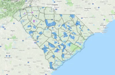
Hearkening back to demographic researcher Dustin Cable's Racial Dot Map, a team of researchers including Harvard's Raj Chetty have worked with the U.S. Census Bureau to assemble a compressive picture of which neighborhoods tend to foster children who get ahead, and which fail to do so.
The Opportunity Atlas, an interactive mapping tool, allows users to pinpoint specific census districts for comparison with the surrounding area, or zoom upward to see how counties and regions fare. According to reporting by Emily Badger and Quoctrung Bui, "for any government program or community grant that targets a specific place, this data proposes a better way to pick those places — one based not on neighborhood poverty levels, but on whether we expect children will escape poverty as adults."
The researchers, who in addition to Chetty include Nathaniel Hendren at Harvard, John N. Friedman at Brown University, and Maggie R. Jones and Sonya R. Porter at the Census Bureau, "believe much of this variation is driven by the neighborhoods themselves, not by differences in what brings people to live in them. The more years children spend in a good neighborhood, the greater the benefits they receive."
The question is whether policymakers, planners, philanthropists, and a whole range of neighborhood stakeholders will be able to use more finely-tuned data on opportunity to change places where "the federal government has spent billions [...] over the years, funneling as much as $500 million into some individual census tracts since 1990."
FULL STORY: Detailed New National Maps Show How Neighborhoods Shape Children for Life

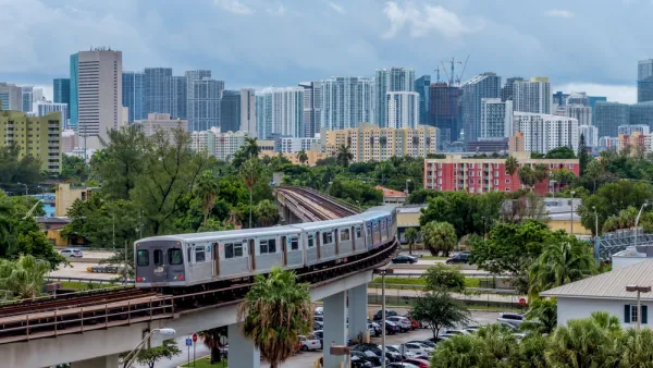
New Tool Puts Miami Development Opportunities on the Map
There's plenty of vacant or underutilized land to be found in Miami-Dade County, if you know where and how to look.
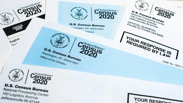
Detailed 2020 Census Data Coming in 2023
The data release was delayed in part so that the agency could implement a new privacy policy aimed at protecting the identities of respondents.

Census Delays Release of 2020 American Community Survey Data
Due to the challenges faced by data collectors during the pandemic, the Census Bureau will not be releasing 2020 ACS data in September as usual.

Analysis: Cybertruck Fatality Rate Far Exceeds That of Ford Pinto
The Tesla Cybertruck was recalled seven times last year.

National Parks Layoffs Will Cause Communities to Lose Billions
Thousands of essential park workers were laid off this week, just before the busy spring break season.

Retro-silient?: America’s First “Eco-burb,” The Woodlands Turns 50
A master-planned community north of Houston offers lessons on green infrastructure and resilient design, but falls short of its founder’s lofty affordability and walkability goals.

Test News Post 1
This is a summary

Analysis: Cybertruck Fatality Rate Far Exceeds That of Ford Pinto
The Tesla Cybertruck was recalled seven times last year.

Test News Headline 46
Test for the image on the front page.
Urban Design for Planners 1: Software Tools
This six-course series explores essential urban design concepts using open source software and equips planners with the tools they need to participate fully in the urban design process.
Planning for Universal Design
Learn the tools for implementing Universal Design in planning regulations.
EMC Planning Group, Inc.
Planetizen
Planetizen
Mpact (formerly Rail~Volution)
Great Falls Development Authority, Inc.
HUDs Office of Policy Development and Research
NYU Wagner Graduate School of Public Service