


There's plenty of vacant or underutilized land to be found in Miami-Dade County, if you know where and how to look.

Rene Rodriguez and Sarah Moreno share news of a new mapping tool by researchers at the University of Miami that locates vacant and underutilized land in Mimi-Dade County.
Rodriguez and Moreno share the data illustrated by the mapping tool as counter evidence to claims by local developers about land scarcity in the county. According to the new Land Access for Neighborhood Development tool (LAND), "there are actually 500 million square feet of vacant or underutilized land scattered across Miami-Dade County. The land is either publicly or institutionally owned."
The LAND tool is the work of the Miami Housing Solutions Lab at the University of Miami's Office of Civic and Community Engagement (CCE).
"The program, which is free to use and available to the public, collects and visualizes data from the Miami-Dade County Property Appraiser," according to Ridriguez and Moreno. "It allows users to apply various filters to searches, so they can distinguish vacant, available city lots from county-owned land previously used but no longer needed by government agencies. (They’re called surplus lots.)"
FULL STORY: Developers say there’s no vacant land in Miami. This tool shows half a billion square feet.

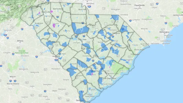
District By District, Maps Trace Neighborhood Opportunity Across the U.S.
Down to the level of individual census tracts, a team of researchers has developed national maps showing where upward mobility is probable, and where it isn't.

Miami Loses Population for the First Time Since 1970
Already one of the nation’s hottest real estate markets before the Covid-19 pandemic, the region became unaffordable for many middle-income households in the last few years.

How the National Park Service Uses GIS
A new book demonstrates how the National Park Service uses GIS technology to meet its mission and showcases a selection of maps used for effectively managing national parks.

National Parks Layoffs Will Cause Communities to Lose Billions
Thousands of essential park workers were laid off this week, just before the busy spring break season.

Retro-silient?: America’s First “Eco-burb,” The Woodlands Turns 50
A master-planned community north of Houston offers lessons on green infrastructure and resilient design, but falls short of its founder’s lofty affordability and walkability goals.

Delivering for America Plan Will Downgrade Mail Service in at Least 49.5 Percent of Zip Codes
Republican and Democrat lawmakers criticize the plan for its disproportionate negative impact on rural communities.

Test News Post 1
This is a summary

Test News Headline 46
Test for the image on the front page.

Balancing Bombs and Butterflies: How the National Guard Protects a Rare Species
The National Guard at Fort Indiantown Gap uses GIS technology and land management strategies to balance military training with conservation efforts, ensuring the survival of the rare eastern regal fritillary butterfly.
Urban Design for Planners 1: Software Tools
This six-course series explores essential urban design concepts using open source software and equips planners with the tools they need to participate fully in the urban design process.
Planning for Universal Design
Learn the tools for implementing Universal Design in planning regulations.
EMC Planning Group, Inc.
Planetizen
Planetizen
Mpact (formerly Rail~Volution)
Great Falls Development Authority, Inc.
HUDs Office of Policy Development and Research
NYU Wagner Graduate School of Public Service