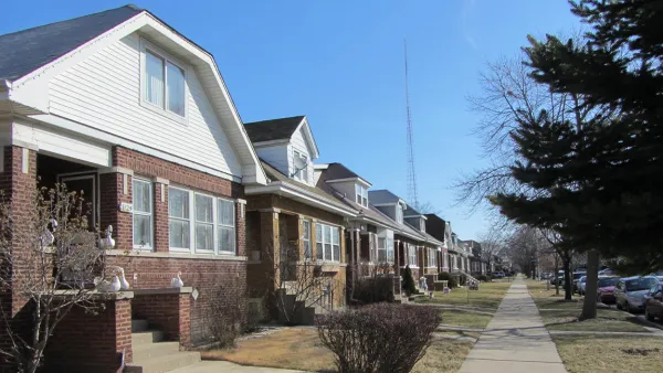
Forget red state versus blue state: a new data analysis and mapping project by The New York Times shows that the political divides in the country can be mapped to the neighborhood level within metropolitan areas.

Emily Badger, Kevin Quealy, and Josh Katz present an info-graphic-rich data journalism feature that reveals the partisan divides evident in the geography of the United States—in far greater detail than the red-blue and urban-rural divide that is already searingly rendered on so many elections maps. The big surprise of this exercise: the partisan dive of U.S. communities is visible at the local level, within urban areas.
"Democrats and Republicans live apart from each other, down to the neighborhood, to a degree that raises provocative questions about how closely lifestyle preferences have become aligned with politics and how even neighbors may influence one another," according to the article.
The analysis is made possible by analyzing the individual addresses for 180 million registered voters. The data reveals that "nearly all American voters live in communities where they are less likely to encounter people with opposing politics than we’d expect."
Maps of Los Angeles, Chicago, Dallas, and New York top the article, but the same patterns are visible in Atlanta, Baltimore, Austin, Indianapolis, Boston, Cincinnati, Charlotte, Detroit, Birmingham, Columbus, Denver, Houston, and more.
As for what explains these patterns, the article suggest that geographic alignment follows educational realignment,"with the changes concentrated in highly educated suburbs and more working-class towns and rural communities." Racial segregation also plays a factor in partisan clustering, according to the article. "African-American voters in particular are overwhelmingly Democratic and also residentially segregated (metro Milwaukee’s map of partisan segregation, for one, resembles its map of racial segregation)."
A lot more analysis on both cause and effect is included in the source article.
FULL STORY: A Close-Up Picture of Partisan Segregation, Among 180 Million Voters

National Parks Layoffs Will Cause Communities to Lose Billions
Thousands of essential park workers were laid off this week, just before the busy spring break season.

Retro-silient?: America’s First “Eco-burb,” The Woodlands Turns 50
A master-planned community north of Houston offers lessons on green infrastructure and resilient design, but falls short of its founder’s lofty affordability and walkability goals.

Delivering for America Plan Will Downgrade Mail Service in at Least 49.5 Percent of Zip Codes
Republican and Democrat lawmakers criticize the plan for its disproportionate negative impact on rural communities.

Test News Post 1
This is a summary

Test News Headline 46
Test for the image on the front page.

Balancing Bombs and Butterflies: How the National Guard Protects a Rare Species
The National Guard at Fort Indiantown Gap uses GIS technology and land management strategies to balance military training with conservation efforts, ensuring the survival of the rare eastern regal fritillary butterfly.
Urban Design for Planners 1: Software Tools
This six-course series explores essential urban design concepts using open source software and equips planners with the tools they need to participate fully in the urban design process.
Planning for Universal Design
Learn the tools for implementing Universal Design in planning regulations.
EMC Planning Group, Inc.
Planetizen
Planetizen
Mpact (formerly Rail~Volution)
Great Falls Development Authority, Inc.
HUDs Office of Policy Development and Research
NYU Wagner Graduate School of Public Service


