


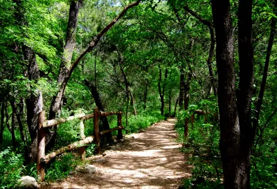
Kyle trail master plan will tie into a 100-mile Central Texas network connecting greenways in the Edwards Aquifer recharge zone.
The town of Kyle, Texas has approved the development of a 10.5-mile trail network, reports Candy Rodriguez. "Mayor Travis Mitchell said the council approval of the trail master plan is just the start and the plan is a work in progress" as the city works to accommodate new residents with new greenways and park space and provide new routes for bicyclists. "Funding for the trail could come from several revenue avenues such as developers, grants, bonds, and more, according to the presentation brought before council."
"[T]he master plan encompasses several trail projects including one that would help with the development of a larger trail system called the Great Springs Project … a 100-mile trail that would run from Barton Springs in Austin through Buda, Kyle, San Marcos, New Braunfels and all the way to San Antonio." According to its website, the Great Springs Projects is "working to create a greenway of contiguous protected lands between Austin and San Antonio over the Edwards Aquifer recharge zone."
The Great Springs Trail Economic Benefits Report claims that the project could create an "estimated annual benefit of $55,290,000" through "economic, health, environmental, and transportation cost savings as well as climate change" benefits in the region.
FULL STORY: Kyle looks to develop a citywide trail connection part of 100-mile Central Texas system

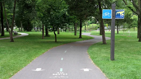
How to Make Greenways Better
Adding amenities such as public restrooms and shade trees can make greenways like Detroit’s Joe Louis Greenway more inviting and comfortable for their users.
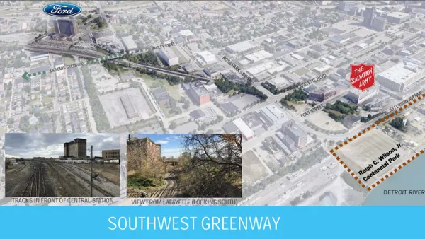
New Greenway Segment Opens in Detroit
Another part of the 27.5-mile Joe Louis Greenway made its debut in Corktown.
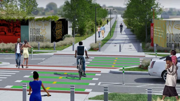
Detroit Opens Segment of Joe Lewis Greenway
The newly opened segment, which features playground equipment and public lawns, is part of a 27.5 mile greenway that will loop through four cities.

National Parks Layoffs Will Cause Communities to Lose Billions
Thousands of essential park workers were laid off this week, just before the busy spring break season.

Retro-silient?: America’s First “Eco-burb,” The Woodlands Turns 50
A master-planned community north of Houston offers lessons on green infrastructure and resilient design, but falls short of its founder’s lofty affordability and walkability goals.

Delivering for America Plan Will Downgrade Mail Service in at Least 49.5 Percent of Zip Codes
Republican and Democrat lawmakers criticize the plan for its disproportionate negative impact on rural communities.

Test News Post 1
This is a summary

Test News Headline 46
Test for the image on the front page.

Balancing Bombs and Butterflies: How the National Guard Protects a Rare Species
The National Guard at Fort Indiantown Gap uses GIS technology and land management strategies to balance military training with conservation efforts, ensuring the survival of the rare eastern regal fritillary butterfly.
Urban Design for Planners 1: Software Tools
This six-course series explores essential urban design concepts using open source software and equips planners with the tools they need to participate fully in the urban design process.
Planning for Universal Design
Learn the tools for implementing Universal Design in planning regulations.
EMC Planning Group, Inc.
Planetizen
Planetizen
Mpact (formerly Rail~Volution)
Great Falls Development Authority, Inc.
HUDs Office of Policy Development and Research
NYU Wagner Graduate School of Public Service