


A new last-mile service set to launch in February will connect the city's residents with job-rich suburbs.

"A new transportation service will attempt to provide a low-cost, on-demand connection between central city Milwaukee residents and Waukesha County employers," reports Jeramey Jannene.
The service, known as FlexRide Milwaukee, will pick up passengers at five locations and drop them off within two designated "employment zones" in an attempt to fill a gap in existing bus service. As Jannene writes, "the pilot study is being billed as a micro-transit effort that will attempt to bridge the spatial mismatch between residents on the north side of Milwaukee and suburban employers."
Milwaukee implemented a similar service on a fixed schedule, JobLines, in 2015, which was shut down in 2019. The Southeastern Wisconsin Regional Planning Commission (SEWRPC), which is leading the study along with UW-Milwaukee, hopes the new on-demand service will serve as a more effective connection for commuters.
When the service launches in February, riders will be able to request a ride by phone or using a mobile app. A similar effort is underway to provide the service in other nearby communities.
FULL STORY: New ‘Last Mile’ Solution Will Connect Suburban Employers, City Residents

Houston Council Member Questions Microtransit Investment
METRO’s support of an on-demand microtransit service comes as the agency is scaling back its bigger bus projects.
Transit Advocates Fear On-Demand Microtransit Undermines Bus Service
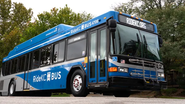
A new on-demand transit service is meant to fill gaps in Kansas City regional bus service, but some transit supporters worry the service is drawing funding away from fixed-route buses.

Denton Plans to Replace Most Bus Routes With On-Demand Microtransit
Transit advocates worry that outsourcing fixed-route service will decrease service levels and raise costs for riders.

National Parks Layoffs Will Cause Communities to Lose Billions
Thousands of essential park workers were laid off this week, just before the busy spring break season.

Retro-silient?: America’s First “Eco-burb,” The Woodlands Turns 50
A master-planned community north of Houston offers lessons on green infrastructure and resilient design, but falls short of its founder’s lofty affordability and walkability goals.

Delivering for America Plan Will Downgrade Mail Service in at Least 49.5 Percent of Zip Codes
Republican and Democrat lawmakers criticize the plan for its disproportionate negative impact on rural communities.

Test News Post 1
This is a summary

Test News Headline 46
Test for the image on the front page.

Balancing Bombs and Butterflies: How the National Guard Protects a Rare Species
The National Guard at Fort Indiantown Gap uses GIS technology and land management strategies to balance military training with conservation efforts, ensuring the survival of the rare eastern regal fritillary butterfly.
Urban Design for Planners 1: Software Tools
This six-course series explores essential urban design concepts using open source software and equips planners with the tools they need to participate fully in the urban design process.
Planning for Universal Design
Learn the tools for implementing Universal Design in planning regulations.
EMC Planning Group, Inc.
Planetizen
Planetizen
Mpact (formerly Rail~Volution)
Great Falls Development Authority, Inc.
HUDs Office of Policy Development and Research
NYU Wagner Graduate School of Public Service