


The city's transit agency hopes a more comprehensive and connected rapid transit network will encourage more Houstonians to use buses.

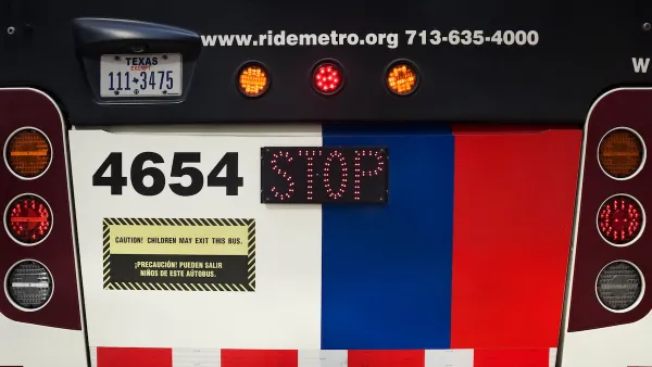
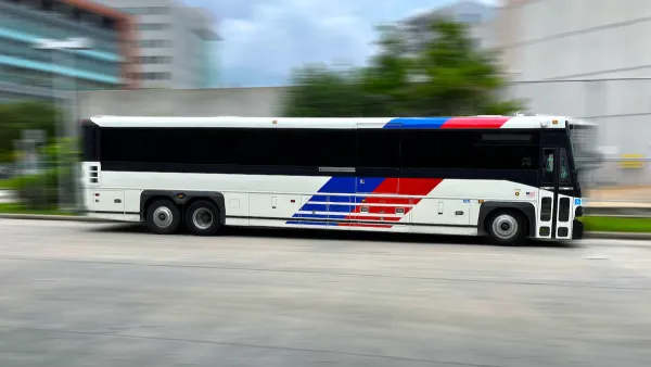
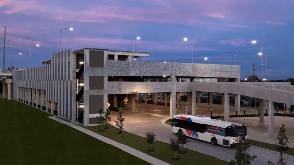
Despite a lackluster performance from the recently opened Silver Line, which, as Houston's first bus rapid transit (BRT) line, "limps along with an average of fewer than 700 passengers on weekdays this year," Houston Metro is moving forward with more BRT projects that officials hope will connect more parts of the city. "As the region’s core becomes more dense with homes and offices, officials believe large buses shuttling between set stops are expected to connect core commuting areas to park and ride hubs, making transit more convenient for suburban and inner-loop residents simultaneously," reports Dug Begley for the Houston Chronicle.
"The preferred I-10 route plan also details how Metro plans to use its existing stations and lanes along Capitol and Rusk so those platforms can pull double-duty while closing them to other vehicles. Left unresolved is how buses will make the move from I-10 to downtown streets, which will depend on the final plans for a massive rebuild of the central city freeway system and Interstate 45."
"Crucially, the project also links more neighborhoods and amenities to rapid service, along I-10 where officials plan stations at Studemont, Shepherd-Durham and Memorial Park." As Begley writes, "The busway, a two-lane elevated road right next to the freeway, would allow buses to move from the Northwest Transit Center near Loop 610 and I-10 to the central business district without being stuck in traffic."
See Begley's article, linked below, for details on the project's proposed route and options for the future of Houston's rapid bus lines.
FULL STORY: Metro to bridge rapid transit between Uptown, downtown Houston along I-10 route

Houston Council Member Questions Microtransit Investment
METRO’s support of an on-demand microtransit service comes as the agency is scaling back its bigger bus projects.
Houston Could Cancel Rapid Transit Project
Metro officials say prioritizing the University Corridor project would force them to delay or cancel other service expansion initiatives.
Making Space for Buses
In Houston, transit officials are working to balance plans for a new bus rapid transit line with existing street trees and traffic lanes.

National Parks Layoffs Will Cause Communities to Lose Billions
Thousands of essential park workers were laid off this week, just before the busy spring break season.

Retro-silient?: America’s First “Eco-burb,” The Woodlands Turns 50
A master-planned community north of Houston offers lessons on green infrastructure and resilient design, but falls short of its founder’s lofty affordability and walkability goals.

Delivering for America Plan Will Downgrade Mail Service in at Least 49.5 Percent of Zip Codes
Republican and Democrat lawmakers criticize the plan for its disproportionate negative impact on rural communities.

Test News Post 1
This is a summary

Test News Headline 46
Test for the image on the front page.

Balancing Bombs and Butterflies: How the National Guard Protects a Rare Species
The National Guard at Fort Indiantown Gap uses GIS technology and land management strategies to balance military training with conservation efforts, ensuring the survival of the rare eastern regal fritillary butterfly.
Urban Design for Planners 1: Software Tools
This six-course series explores essential urban design concepts using open source software and equips planners with the tools they need to participate fully in the urban design process.
Planning for Universal Design
Learn the tools for implementing Universal Design in planning regulations.
EMC Planning Group, Inc.
Planetizen
Planetizen
Mpact (formerly Rail~Volution)
Great Falls Development Authority, Inc.
HUDs Office of Policy Development and Research
NYU Wagner Graduate School of Public Service