


Officials will assess multiple options for increasing capacity on a key route between downtown Houston and southwestern communities.
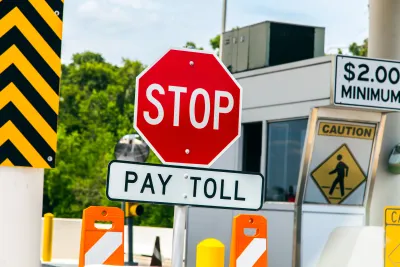
Houston’s Westpark Tollway could be headed for a redesign as the road continues to get more congested, reports Dug Begley in the Houston Chronicle. The tollway connects southwest Houston’s rapidly growing suburban communities with downtown and provides a key link for tens of thousands of commuters.
Rather than just examining the potential for lane expansion, officials say they are “thinking about all the options, leveraging all the mobility options so maybe that means transit partnerships or new ways of serving people beyond just raising prices and adding capacity.”
Harris County Toll Road Authority Executive Director Roberto Trevino says the Authority will commission a study to evaluate possible expansions and transit options. While an expansion of vehicle lanes is likely, “Moving more people … is prompting officials to consider how to move them more efficiently, notably by adding transit options or opportunities to ride a bike to a carpool hub or transit station.” Begley notes that “Right now, no commuter buses use HCTRA tollways, but that is likely to change as toll officials aim to use the existing lanes to move more people.”
FULL STORY: Houston's Westpark Tollway needs expansion, new transit options, leaders say

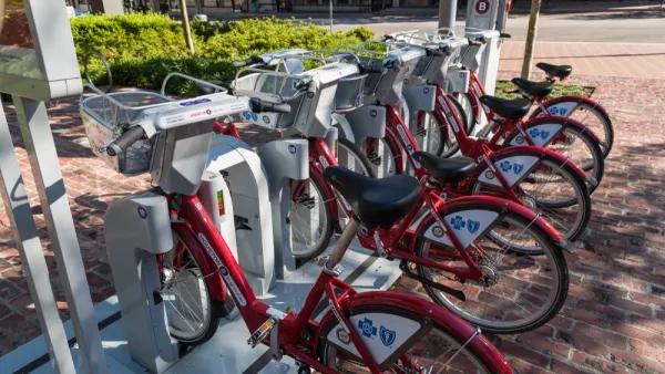
Houston Metro Abandons Bike Share in Favor of On-Demand Microtransit
The agency failed to include funding for bike share in its 2025 budget proposal.
Houston Transit Agencies Offer ‘Free Fare Fridays’ for Ozone Action Month
Harris County is one of several Texas counties that failed EPA standards for clean air in recent years.
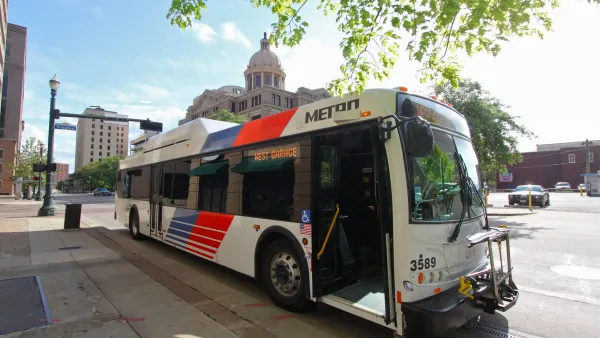
Houston Council Member Questions Microtransit Investment
METRO’s support of an on-demand microtransit service comes as the agency is scaling back its bigger bus projects.

National Parks Layoffs Will Cause Communities to Lose Billions
Thousands of essential park workers were laid off this week, just before the busy spring break season.

Retro-silient?: America’s First “Eco-burb,” The Woodlands Turns 50
A master-planned community north of Houston offers lessons on green infrastructure and resilient design, but falls short of its founder’s lofty affordability and walkability goals.

Delivering for America Plan Will Downgrade Mail Service in at Least 49.5 Percent of Zip Codes
Republican and Democrat lawmakers criticize the plan for its disproportionate negative impact on rural communities.

Test News Post 1
This is a summary

Test News Headline 46
Test for the image on the front page.

Balancing Bombs and Butterflies: How the National Guard Protects a Rare Species
The National Guard at Fort Indiantown Gap uses GIS technology and land management strategies to balance military training with conservation efforts, ensuring the survival of the rare eastern regal fritillary butterfly.
Urban Design for Planners 1: Software Tools
This six-course series explores essential urban design concepts using open source software and equips planners with the tools they need to participate fully in the urban design process.
Planning for Universal Design
Learn the tools for implementing Universal Design in planning regulations.
EMC Planning Group, Inc.
Planetizen
Planetizen
Mpact (formerly Rail~Volution)
Great Falls Development Authority, Inc.
HUDs Office of Policy Development and Research
NYU Wagner Graduate School of Public Service