


The state is pioneering the use of technology to identify wildfire risks and alert firefighters before blazes get out of control.
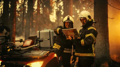
California fire officials are using artificial intelligence to get ahead of wildfires and help firefighters identify signs of fires before they rage out of control.
As Carl Smith explains in Governing, “The cameras, trained using artificial intelligence to recognize anomalies that could be signs of wildfire, make up part of an interlinked technology network that is redefining the scope of fire prediction, prevention and response.”
Technology can help officials understand conditions that pose fire risk, identify hazardous spots early, and track fire movement. “California is at the leading edge of implementing and integrating these tools, and officials are eager to share what they’re learning.”
As Smith explains, “It’s too much to ask humans to pay close attention to feeds from a thousand cameras at every hour of every day. If AI could learn what kinds of anomalies in a landscape might signify fire, the network could alert staff at command centers, where experienced firefighters could interpret what it had flagged.”
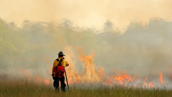
CAL FIRE’s innovative use of AI could serve as a model for other states. However, “No one thinks AI or other technology alone will provide a complete solution for California’s wildfire problem. Cameras are still being trained. They can spot something that might be a fire, but it takes an experienced firefighter to evaluate what they have flagged. Sightings by firefighters and volunteers in the field and in observation towers, as well as 911 calls from citizens and pilots, remain essential.”
FULL STORY: California's High Tech Approach to Preventing Wildfires

California Fire Dashboard Tracks Statewide Resilience Efforts
The online map builds a comprehensive database of fire prevention and mitigation efforts at every level of government to help agencies coordinate their work and understand the impacts of projects.

The Lesser-Known Programs in the Infrastructure Bill
While the focus has been on flashier components of the infrastructure bill, some smaller initiatives could have outsized impacts by shifting priorities and funding resilience efforts.
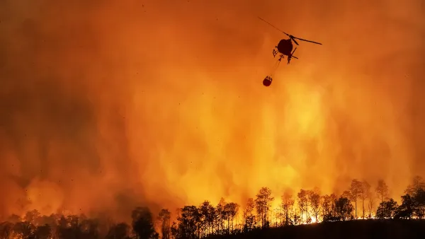
Federal Funding Cuts Spark Concern Among Wildland Firefighters
Federal firefighting forces, already underresourced, are being slashed even as wildfires become a year-round problem.

National Parks Layoffs Will Cause Communities to Lose Billions
Thousands of essential park workers were laid off this week, just before the busy spring break season.

Retro-silient?: America’s First “Eco-burb,” The Woodlands Turns 50
A master-planned community north of Houston offers lessons on green infrastructure and resilient design, but falls short of its founder’s lofty affordability and walkability goals.

Delivering for America Plan Will Downgrade Mail Service in at Least 49.5 Percent of Zip Codes
Republican and Democrat lawmakers criticize the plan for its disproportionate negative impact on rural communities.

Test News Post 1
This is a summary

Test News Headline 46
Test for the image on the front page.

Balancing Bombs and Butterflies: How the National Guard Protects a Rare Species
The National Guard at Fort Indiantown Gap uses GIS technology and land management strategies to balance military training with conservation efforts, ensuring the survival of the rare eastern regal fritillary butterfly.
Urban Design for Planners 1: Software Tools
This six-course series explores essential urban design concepts using open source software and equips planners with the tools they need to participate fully in the urban design process.
Planning for Universal Design
Learn the tools for implementing Universal Design in planning regulations.
EMC Planning Group, Inc.
Planetizen
Planetizen
Mpact (formerly Rail~Volution)
Great Falls Development Authority, Inc.
HUDs Office of Policy Development and Research
NYU Wagner Graduate School of Public Service