


A new map illustrates the neighborhoods and buildings that were razed to make way for freeways and estimates the number of people displaced by roadways.
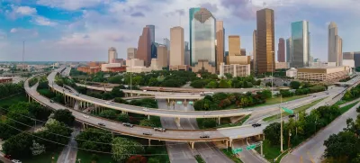
An interactive map from the Baker Institute Center for Energy Studies at Rice University visualizes the displacement of people and buildings caused by highway construction in Houston. “Displayed alongside the interactive database are historical maps of Houston, aerial photography before and after highway construction, freeway plans and proposals, and details about each of the more than 11,000 structures in our database of buildings removed for urban freeways.”
According to the researchers, “The map also estimates the number of individuals displaced by highway construction between 1946 and 1974, who were mostly Black Houstonians. We hope this history will allow both the public and policymakers to explore the legacies of segregation and inequality as debates over the rebuilding, reshaping, and expansion of Houston's highway system continue.”
FULL STORY: A history of highway displacement in Houston

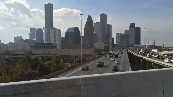
Contentious Houston Freeway Widening Project Inches Forward
Federal officials have given TxDOT the go-ahead to resume work on a small portion of a controversial interstate widening project in downtown Houston.
Bridging Divides: The Crucial Role of Collaboration in Highway Removal
Highway removal is most successful when agencies at all levels of government work closely with each other and the impacted community.

Reimagining the Space Beneath Houston’s Freeways
Opportunities abound for Houston to capitalize on otherwise unused space beneath its wide network of freeways.

National Parks Layoffs Will Cause Communities to Lose Billions
Thousands of essential park workers were laid off this week, just before the busy spring break season.

Retro-silient?: America’s First “Eco-burb,” The Woodlands Turns 50
A master-planned community north of Houston offers lessons on green infrastructure and resilient design, but falls short of its founder’s lofty affordability and walkability goals.

Delivering for America Plan Will Downgrade Mail Service in at Least 49.5 Percent of Zip Codes
Republican and Democrat lawmakers criticize the plan for its disproportionate negative impact on rural communities.

Test News Post 1
This is a summary

Test News Headline 46
Test for the image on the front page.

Balancing Bombs and Butterflies: How the National Guard Protects a Rare Species
The National Guard at Fort Indiantown Gap uses GIS technology and land management strategies to balance military training with conservation efforts, ensuring the survival of the rare eastern regal fritillary butterfly.
Urban Design for Planners 1: Software Tools
This six-course series explores essential urban design concepts using open source software and equips planners with the tools they need to participate fully in the urban design process.
Planning for Universal Design
Learn the tools for implementing Universal Design in planning regulations.
EMC Planning Group, Inc.
Planetizen
Planetizen
Mpact (formerly Rail~Volution)
Great Falls Development Authority, Inc.
HUDs Office of Policy Development and Research
NYU Wagner Graduate School of Public Service