


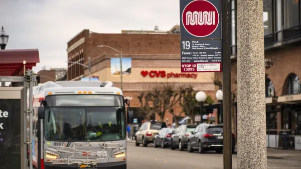
This piece from the San Francisco Chronicle argues that the best way to improve the city's sluggish public transit system is to put it underground.
"Throughout the world, cities have recognized that dense urban areas can be adequately served only by separate rail rapid transit. We have the BART and Muni Metro systems, which provide this level of service to some parts of the city, but the densest quarter, north of Market Street and east of Van Ness Avenue, has no subways. We passengers have to endure buses that crawl along at walking speed. The planned Central Subway, which is an extension of the new T-Muni-Metro line, is our chance to finally provide world-class service to this part of the city."
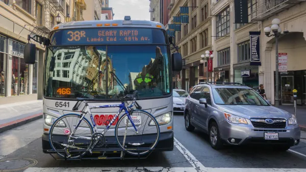
"The Central Subway corridor is the fourth of four new rapid-transit corridors approved by voters in 1987 as part of the "four corridors plan." One, the Third Street lightrail line, has been built. Another two, Geary Boulevard and Van Ness Avenue (both of which are wide streets that can accommodate exclusive transit lanes), are slated to get Bus Rapid Transit. The Central Subway is the final link in this modern rapid transit system that is long overdue. A trip from Fourth and King streets to Chinatown that takes 22 minutes on a good day, longer if traffic is bad, will take seven minutes, every time, on a comfortable train."
"The San Francisco Planning and Urban Research Association supports this project, but with a couple of stern warnings. As proposed, the subway fails to make Muni much more efficient. Because it goes only as far as Chinatown, it does not directly serve much of northeast part of the city, therefore requiring slow, inefficient duplicative bus service to be retained. The subway should be extended to North Beach, serving a large population and allowing easy transfers from other lines. This could be done quickly and relatively inexpensively because the plan already calls for tunneling all the way to Washington Square, where an additional station easily could be built. Subsequently, the line could be extended to Fisherman's Wharf and the Van Ness rapid transit line, and from there possibly to the Presidio."
FULL STORY: How Muni can improve - go underground

San Francisco Muni Sees Highest Ridership Since Start of Pandemic
The SFMTA is improving service at off-peak hours and on weekends to accommodate new travel patterns that rely less on weekday commuters. Ridership has increased accordingly.
San Francisco Muni Cuts Frequency on Four Bus Lines
The agency says the changes are part of an effort to address its financial crisis and continue delivering “reliable service.”
Opinion: San Francisco Needs a Well-Funded Transit System
Muni ridership is above pre-pandemic levels on some lines. Why is the agency still considering service cuts?

National Parks Layoffs Will Cause Communities to Lose Billions
Thousands of essential park workers were laid off this week, just before the busy spring break season.

Retro-silient?: America’s First “Eco-burb,” The Woodlands Turns 50
A master-planned community north of Houston offers lessons on green infrastructure and resilient design, but falls short of its founder’s lofty affordability and walkability goals.

Delivering for America Plan Will Downgrade Mail Service in at Least 49.5 Percent of Zip Codes
Republican and Democrat lawmakers criticize the plan for its disproportionate negative impact on rural communities.

Test News Post 1
This is a summary

Test News Headline 46
Test for the image on the front page.

Balancing Bombs and Butterflies: How the National Guard Protects a Rare Species
The National Guard at Fort Indiantown Gap uses GIS technology and land management strategies to balance military training with conservation efforts, ensuring the survival of the rare eastern regal fritillary butterfly.
Urban Design for Planners 1: Software Tools
This six-course series explores essential urban design concepts using open source software and equips planners with the tools they need to participate fully in the urban design process.
Planning for Universal Design
Learn the tools for implementing Universal Design in planning regulations.
EMC Planning Group, Inc.
Planetizen
Planetizen
Mpact (formerly Rail~Volution)
Great Falls Development Authority, Inc.
HUDs Office of Policy Development and Research
NYU Wagner Graduate School of Public Service