


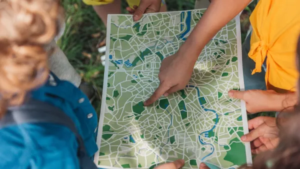
Bernt Wahl is a pioneer of neighborhood mapping techniques. This profile in Wired profiles this growing industry, and Wahl's struggles with intellectual property. Who owns your neighborhood?
"Wahl began his work when he was contracted by real estate portal HomeGain to optimize the firm's search engine. At that time, real estate site maps were organized either by ZIP code or by census tract, which are both fairly arbitrary shapes drawn with disregard for the differences in the neighborhoods within. The Thomas Guides have long noted neighborhoods, but did not attempt to define where they begin and end.
Wahl saw that as a fatal flaw. "Neighborhoods are really important," he says. "For example, there's a census tract that combines downtown Berkeley and North Berkeley. In Berkeley hills, the average age is 57, and downtown it's 24. The incomes and values are completely different. It made me start thinking that we needed a different way to let people look for homes."
Working with 15 student interns, Wahl began phoning local-government planning departments, chambers of commerce and other community sources in hundreds of cities. "There's usually a librarian in each place who remembers the neighborhoods - the trick is finding them," Wahl says. "And you have to be careful about what people tell you, because they can tend to bleed their home into a better neighborhood."
Using the anecdotal data, Wahl drew polygons that contain the neighborhoods, then tacked them to base maps created by the U.S. Census. The new maps hit big. HomeGain went from limping into its last few million dollars of startup capital to being one of the leading real estate search sites."
FULL STORY: Lawsuit Claims Mapmaking Firm Owns Your Neighborhood


New Book Shows How Geographic Technology Tackles Global Challenges
In his new book, Jack Dangermond explores the transformative impact of GIS technology in solving global challenges through spatial data, highlighting its widespread application across sectors and its potential to design sustainable futures.
Building Healthier Communities: The Role of GIS in Park Planning
Integrating Geographic Information Systems (GIS) into park planning enhances community health by promoting physical activity, supporting mental well-being, fostering social connectedness, and addressing public health crises and climate change.

Washington State Requests Federal Funding for Tsunami Preparedness
The state’s Department of Natural Resources says it needs continued funding to map coastal areas at risk for tsunami impacts and prepare mitigation and evacuation plans.

Analysis: Cybertruck Fatality Rate Far Exceeds That of Ford Pinto
The Tesla Cybertruck was recalled seven times last year.

National Parks Layoffs Will Cause Communities to Lose Billions
Thousands of essential park workers were laid off this week, just before the busy spring break season.

Retro-silient?: America’s First “Eco-burb,” The Woodlands Turns 50
A master-planned community north of Houston offers lessons on green infrastructure and resilient design, but falls short of its founder’s lofty affordability and walkability goals.

Test News Post 1
This is a summary

Analysis: Cybertruck Fatality Rate Far Exceeds That of Ford Pinto
The Tesla Cybertruck was recalled seven times last year.

Test News Headline 46
Test for the image on the front page.
Urban Design for Planners 1: Software Tools
This six-course series explores essential urban design concepts using open source software and equips planners with the tools they need to participate fully in the urban design process.
Planning for Universal Design
Learn the tools for implementing Universal Design in planning regulations.
EMC Planning Group, Inc.
Planetizen
Planetizen
Mpact (formerly Rail~Volution)
Great Falls Development Authority, Inc.
HUDs Office of Policy Development and Research
NYU Wagner Graduate School of Public Service