


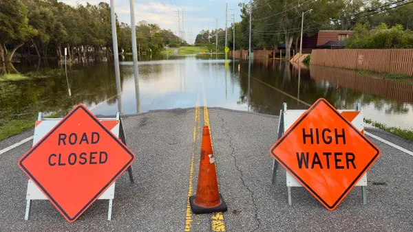
FEMA has redone official maps of flood-prone areas across the country, designating some as flood zones for the first time.
"The changes stem from the Federal Emergency Management Agency's multiyear plan to digitize its Flood Insurance Rate Maps to make them more accurate and easier to update.
New flood maps go into effect this month in 123 communities in Alabama, Georgia, Illinois, Kansas, Mississippi, North Carolina, South Carolina, Tennessee and Wisconsin. By 2010, about 92% of the population and 65% of the land in the USA will be covered by the maps, FEMA says.
The maps are the official record of the country's flood zones. The federal government requires properties in flood zones that have federally backed mortgages to carry flood insurance, FEMA spokesman Simon Chabel said. Mortgage companies also use the maps and can make flood insurance a condition for a loan."
FULL STORY: New high-tech FEMA maps redefine flood zones

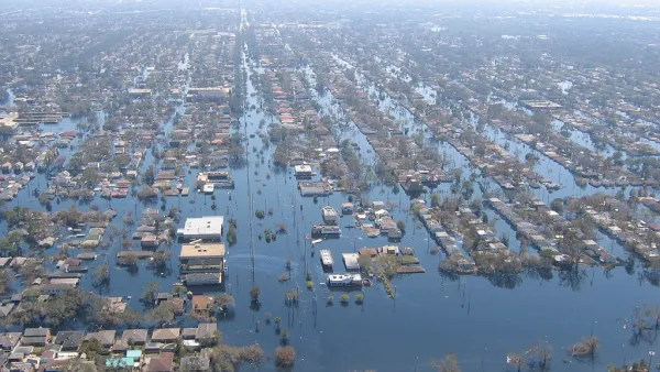
New Flood Maps Downplay Risks in New Orleans
Recently released flood maps created by FEMA for the city of New Orleans are receiving criticism for being 'overly optimistic' when it comes to risks posed by hurricanes and rising sea levels.
FEMA Suspends Flood Rebuilding Standard
The rule was designed to prevent the rebuilding of government-funded projects in areas prone to repeated floods.
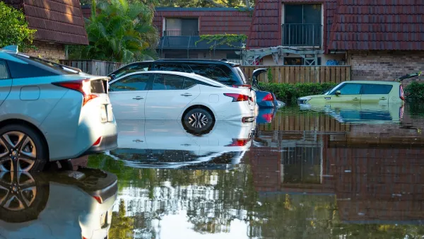
Auto Insurance Rates Spike Due to Extreme Weather
Car insurance costs around the country are going up as insurers receive more claims from areas struck by storms and other climate disasters.

Analysis: Cybertruck Fatality Rate Far Exceeds That of Ford Pinto
The Tesla Cybertruck was recalled seven times last year.

National Parks Layoffs Will Cause Communities to Lose Billions
Thousands of essential park workers were laid off this week, just before the busy spring break season.

Retro-silient?: America’s First “Eco-burb,” The Woodlands Turns 50
A master-planned community north of Houston offers lessons on green infrastructure and resilient design, but falls short of its founder’s lofty affordability and walkability goals.

Test News Post 1
This is a summary

Analysis: Cybertruck Fatality Rate Far Exceeds That of Ford Pinto
The Tesla Cybertruck was recalled seven times last year.

Test News Headline 46
Test for the image on the front page.
Urban Design for Planners 1: Software Tools
This six-course series explores essential urban design concepts using open source software and equips planners with the tools they need to participate fully in the urban design process.
Planning for Universal Design
Learn the tools for implementing Universal Design in planning regulations.
EMC Planning Group, Inc.
Planetizen
Planetizen
Mpact (formerly Rail~Volution)
Great Falls Development Authority, Inc.
HUDs Office of Policy Development and Research
NYU Wagner Graduate School of Public Service