


San Francisco residents will get their first peek today at an inventive Internet-based tool that lets them track their personal carbon footprint and gauge how green their neighborhood is compared with the rest of the city.
"The Web site at UrbanEcoMap.org was built by Cisco Systems Inc., engineers using information such as trash collection, recycling rates and hybrid-car ownership to break down energy consumption and other environmental factors byZip code. For example, the map shows that Mayor Gavin Newsom's neighborhood has the 10th lowest level of overall carbon emissions.
The interactive technology won't be available to San Francisco users until mid-May, but residents can check out a video that explains the Web site and how to use it starting today.
"We hear so much about climate change, but the challenge is either so abstract or so big that consumers don't know what they can really do," said Wolfgang Wagener, director of the connected urban development program for Cisco. "The ecomap provides citizens with concrete, tangible access to information and resources with relevance to their daily life."
San Francisco is the first city in the world to take advantage of the ecomap technology. Amsterdam and Seoul will follow sometime this year. The maps will be updated regularly as part of a 12-month pilot project paid for by Cisco, which plans to transform the site to nonprofit status sometime in 2010."
Thanks to Laine Cidlowski
FULL STORY: Net tool tracks carbon footprint by ZIP code

The Neighborhood Carbon Challenge
A neighborhood in Corvallis, Oregon, is the pilot site of a neighborhood-wide "carbon challenge" in which residents try to reduce their carbon footprint.

Mapping Climate Impact at the Neighborhood Level
A consumption-based analysis illustrates the differences in average household emissions across census tracts.
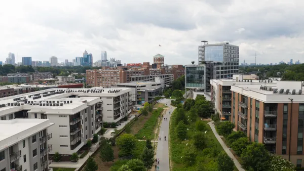
Georgia's Efforts to Reduce Carbon Emissions
The state is diversifying its energy sources to reduce carbon emissions by 50% by 2030, in line with federal climate goals.

National Parks Layoffs Will Cause Communities to Lose Billions
Thousands of essential park workers were laid off this week, just before the busy spring break season.

Retro-silient?: America’s First “Eco-burb,” The Woodlands Turns 50
A master-planned community north of Houston offers lessons on green infrastructure and resilient design, but falls short of its founder’s lofty affordability and walkability goals.

Delivering for America Plan Will Downgrade Mail Service in at Least 49.5 Percent of Zip Codes
Republican and Democrat lawmakers criticize the plan for its disproportionate negative impact on rural communities.

Test News Post 1
This is a summary

Test News Headline 46
Test for the image on the front page.

Balancing Bombs and Butterflies: How the National Guard Protects a Rare Species
The National Guard at Fort Indiantown Gap uses GIS technology and land management strategies to balance military training with conservation efforts, ensuring the survival of the rare eastern regal fritillary butterfly.
Urban Design for Planners 1: Software Tools
This six-course series explores essential urban design concepts using open source software and equips planners with the tools they need to participate fully in the urban design process.
Planning for Universal Design
Learn the tools for implementing Universal Design in planning regulations.
EMC Planning Group, Inc.
Planetizen
Planetizen
Mpact (formerly Rail~Volution)
Great Falls Development Authority, Inc.
HUDs Office of Policy Development and Research
NYU Wagner Graduate School of Public Service