


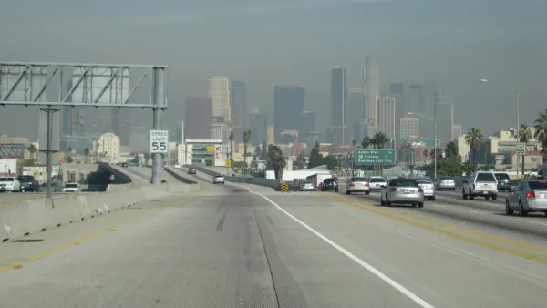
John King considers a new report released by the Census Bureau on Monday, which finds that of the ten most densely populated urbanized areas in the United States, nine are in the West.
As King comments, the Census Report "reaffirmed a counterintuitive truth: The cities of the West, barely considered cities at all by many East Coast pundits, often are more densely populated than such skyscraping metropolises as New York and Chicago."
The four most densely urbanized areas were all in California, with Los Angeles-Long Beach-Anaheim (nearly 7,000 people/sq mi), San Francisco-Oakland (6,266 people/sq mi), and San Jose (5,820 people/sq mi) topping the list. Of course, the New York-Newark area continues to be the most populous area, with 18,351,295 residents.
According to King, the density numbers, which are shaped by commute patterns and geographic features, rather than municipal boundaries, reflect the unique historic growth patterns of the West where there are "much more rigid lines of separation" between urban, rural, and wilderness land.
"It's a legacy of how in our minds' eye we have always separated California into 'urban' land and 'productive' land and then wilderness, the cathedrals of nature," said Jon Christensen, executive director of the Bill Lane Center for the American West at Stanford University.
Also of note in the Census Bureau's findings is that the nation's urban population as a whole "increased by 12.1 percent from 2000 to 2010, outpacing the nation's overall growth rate of 9.7 percent for the same period." In addition, "Among urbanized areas with populations of 1 million or more, the Charlotte, N.C.-S.C., area grew at the fastest rate, increasing by 64.6 percent."
For King however, "The most intriguing nugget found in the density measurements might be the hints that the American norm of growth - ever outward, with densities in a constant decline - might be coming to a halt in certain desirable locales."
FULL STORY: California cities most densely populated in U.S.

California Redefines Density
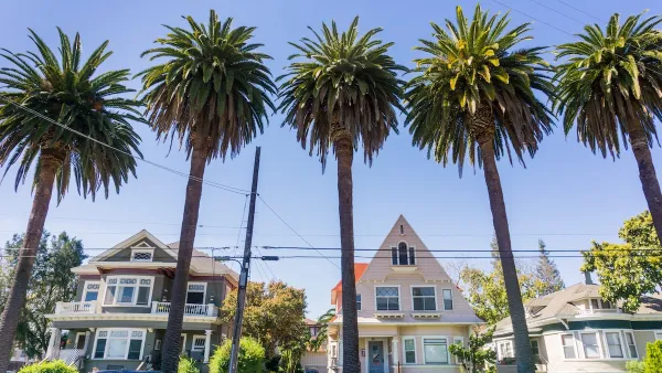
Census data reveals that California is the most urbanized state, with the most dense urban areas. But in California, sprawl, density, crowding, and urbanism are not always what they seem. Fortunately, a new law may help planners make sense of it all.
California Has 8 of the 10 Most Polluted Cities in the U.S.
Despite ever-stricter air-quality regulations and dropping emissions, the American Lung Association once again finds the state to have some of the worst air in the nation.
San Jose Homeowners Can Now Sell ADUs as Condos
A new policy could help boost the supply of smaller, more affordable ‘starter homes’ in the first California city to legalize the sale of ADUs.

National Parks Layoffs Will Cause Communities to Lose Billions
Thousands of essential park workers were laid off this week, just before the busy spring break season.

Retro-silient?: America’s First “Eco-burb,” The Woodlands Turns 50
A master-planned community north of Houston offers lessons on green infrastructure and resilient design, but falls short of its founder’s lofty affordability and walkability goals.

Delivering for America Plan Will Downgrade Mail Service in at Least 49.5 Percent of Zip Codes
Republican and Democrat lawmakers criticize the plan for its disproportionate negative impact on rural communities.

Test News Post 1
This is a summary

Test News Headline 46
Test for the image on the front page.

Balancing Bombs and Butterflies: How the National Guard Protects a Rare Species
The National Guard at Fort Indiantown Gap uses GIS technology and land management strategies to balance military training with conservation efforts, ensuring the survival of the rare eastern regal fritillary butterfly.
Urban Design for Planners 1: Software Tools
This six-course series explores essential urban design concepts using open source software and equips planners with the tools they need to participate fully in the urban design process.
Planning for Universal Design
Learn the tools for implementing Universal Design in planning regulations.
EMC Planning Group, Inc.
Planetizen
Planetizen
Mpact (formerly Rail~Volution)
Great Falls Development Authority, Inc.
HUDs Office of Policy Development and Research
NYU Wagner Graduate School of Public Service