


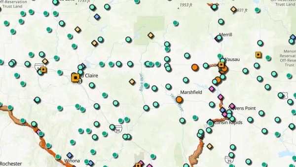
The "best of 2012" lists are just starting to spread and, already, one of the most unique collections we've come across is Caitlin Dempsey's look at the year's most interesting maps. You don't have to be a cartographer to enjoy these visualizations.
From a hypnotic respresentation of the raw power of nature to a meticulously hand-crafted geography of the United States, Dempsey's collection of the most "fascinating maps and GIS data visualizations that caught the public’s attention this year," covers a wide range of technologies, topics, and techniques.
Notable maps include the sliding scale population density of the world created by Derek Watkins and the dynamic wind map created by Fernanda Viégas and Martin Wattenberg of the site HINT.FM. The wind map was created by the leaders of Google’s “Big Picture” visualization research group as a personal art project. "The artists note on their site, 'We invent new ways for people to think and talk about data' and this wind map certainly achieved that," adds Dempsey.
FULL STORY: Six of this Year’s Most Interesting Maps


New Book Shows How Geographic Technology Tackles Global Challenges
In his new book, Jack Dangermond explores the transformative impact of GIS technology in solving global challenges through spatial data, highlighting its widespread application across sectors and its potential to design sustainable futures.

Building Healthier Communities: The Role of GIS in Park Planning
Integrating Geographic Information Systems (GIS) into park planning enhances community health by promoting physical activity, supporting mental well-being, fostering social connectedness, and addressing public health crises and climate change.
New Book Highlights How GIS Improves Outcomes
Esri Press recently published a digital book called Mapping the Nation which demonstrates how a geographic approach guides important decisions and addresses challenges around the globe.

National Parks Layoffs Will Cause Communities to Lose Billions
Thousands of essential park workers were laid off this week, just before the busy spring break season.

Retro-silient?: America’s First “Eco-burb,” The Woodlands Turns 50
A master-planned community north of Houston offers lessons on green infrastructure and resilient design, but falls short of its founder’s lofty affordability and walkability goals.

Delivering for America Plan Will Downgrade Mail Service in at Least 49.5 Percent of Zip Codes
Republican and Democrat lawmakers criticize the plan for its disproportionate negative impact on rural communities.

Test News Post 1
This is a summary

Test News Headline 46
Test for the image on the front page.

Balancing Bombs and Butterflies: How the National Guard Protects a Rare Species
The National Guard at Fort Indiantown Gap uses GIS technology and land management strategies to balance military training with conservation efforts, ensuring the survival of the rare eastern regal fritillary butterfly.
Urban Design for Planners 1: Software Tools
This six-course series explores essential urban design concepts using open source software and equips planners with the tools they need to participate fully in the urban design process.
Planning for Universal Design
Learn the tools for implementing Universal Design in planning regulations.
EMC Planning Group, Inc.
Planetizen
Planetizen
Mpact (formerly Rail~Volution)
Great Falls Development Authority, Inc.
HUDs Office of Policy Development and Research
NYU Wagner Graduate School of Public Service