


Researchers at the University of Chicago are tackling a problem that is confronting the globe's biggest cities: how to turn the reams of data being collected and opened to the public and turn it into actionable information for decision-makers.
Sam Cholke reports on the aspirations of the new Urban Center for Computation and Data (UrbanCCD), which "will apply the most advanced computational and data-driven techniques to the challenge of intelligent urban planning and design." Funded with an initial $600,000 grant from the National Science Foundation, and led by computer scientist Charlie Catlett, the Center is a joint initiative between the University of Chicago and Argonne National Laboratory.
With an unprecedented volume and diversity of data being made available to the public and researchers, "Catlett and a collection of doctors, urban planners and social scientists want to analyze that data so to solve urban planning puzzles in some of Chicago’s most distressed neighborhoods and eliminate the old method of trial and error," says Cholke.
“Right now we look around and look for examples where something has worked or appeared to work,” said Keith Besserud, an architect at Skidmore, Owings and Merrill's Blackbox Studio and part of the new center. “We live in a city, so we think we understand it, but it’s really not seeing the forest for the trees, we really don’t understand it.”
"Besserud said urban planners have theories but lack evidence to know for sure when greater density could improve a neighborhood, how increased access to public transportation could reduce unemployment and other fundamental questions," notes Cholke.
Could UrbanCCD provide that scientific foundation that those within and outside the planning profession have been clamoring for?
“We’re going to try to break down some of the really tough problems we’ve never been able to solve,” Besserud said. “The issue in general is the field of urban design has been inadequately served by computational tools.”
FULL STORY: Researchers Say Much to Be Learned from Chicago's Open Data

A Central Hub for Open Data
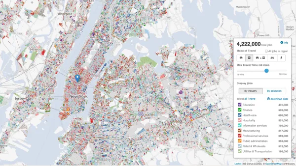
Designed by researchers at the University of Chicago, the Plenario platform gathers all available open data for a specific area. Then it presents the data in an easy-to-use format.

The State of Mobility as a Service Platforms
With so many new mobility options available in cities, mobility as a service (MaaS) platforms have a lot of work to do for a lot of people. Development is still catching up to the scope of the endeavor.

A Website to Report and Map Street Repair Work
The ChiSreetWork website, which updates the location of street repairs and was originally intended for internal use at City Hall, is now publicly available in Chicago.

National Parks Layoffs Will Cause Communities to Lose Billions
Thousands of essential park workers were laid off this week, just before the busy spring break season.

Retro-silient?: America’s First “Eco-burb,” The Woodlands Turns 50
A master-planned community north of Houston offers lessons on green infrastructure and resilient design, but falls short of its founder’s lofty affordability and walkability goals.

Delivering for America Plan Will Downgrade Mail Service in at Least 49.5 Percent of Zip Codes
Republican and Democrat lawmakers criticize the plan for its disproportionate negative impact on rural communities.

Test News Post 1
This is a summary

Test News Headline 46
Test for the image on the front page.

Balancing Bombs and Butterflies: How the National Guard Protects a Rare Species
The National Guard at Fort Indiantown Gap uses GIS technology and land management strategies to balance military training with conservation efforts, ensuring the survival of the rare eastern regal fritillary butterfly.
Urban Design for Planners 1: Software Tools
This six-course series explores essential urban design concepts using open source software and equips planners with the tools they need to participate fully in the urban design process.
Planning for Universal Design
Learn the tools for implementing Universal Design in planning regulations.
EMC Planning Group, Inc.
Planetizen
Planetizen
Mpact (formerly Rail~Volution)
Great Falls Development Authority, Inc.
HUDs Office of Policy Development and Research
NYU Wagner Graduate School of Public Service