


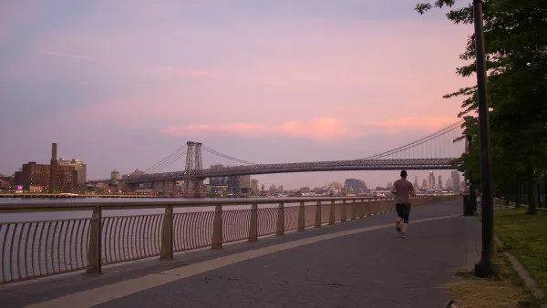
While Staten Island and Rockaway, Queens also suffered devastation from Superstorm Sandy; Broad Channel, an island in Jamaica Bay, Queens, may be the lowest lying area in the City and endures tidal flooding regularly, not just from storm surges.
Referred to as the “Venice” of New York according to the Broad Channel Historical Society, Kia Gregory writes of the efforts - considered questionable by some, to safeguard Broad Channel, a tight-knit, island community of 3,000 that "suffers flooding from the tides and heavy rain, not just from storm surges". The city is "budgeting $22 million to install bulkheads and raise streets and sidewalks by three feet".
The Broad Channel project offers a preview of the infrastructure outlays that Mayor Michael R. Bloomberg is envisioning as part of a new $20 billion plan to protect the city’s 520 miles of coast over the next decade from rising sea levels.
However, according to Eric A. Goldstein, director of the Natural Resources Defense Council's New York City Environment, Broad Channel "may be surviving on borrowed time." More to the point, he asked, "How much sense does it make to keep reinvesting taxpayer dollars in a community that is directly in harm's way?" He suggests that rather than funding climate adaptation efforts for some communities, it may make more sense to fund relocation programs.
In fact, Mayor Bloomberg's adaptation plan notes the difficulty in safeguarding the Jamaica Bay waterfront, stating that it would be "extremely expensive, and disruptive, and in some cases nearly impossible".
Notwithstanding those concerns, improvements are slated to begin by installing bulkheads, water mains, drains, and sewers on four streets, and then raise them by three feet, using "a so-called shared-streets design, meaning cars, bicyclists and pedestrians will share the roadway".
Adding to Mr. Goldstein's reservations, only half the families on the street hardest hit by Sandy have returned.
Watch the 2:43 minute video by Stephen Farrell to get a better insight into the challenges of safeguarding Broad Channel.
FULL STORY: Where Streets Flood With the Tide, a Debate Over City Aid

East River Floodgates Rising in NYC
A tour of new infrastructure designed to protect the city’s East Side from catastrophic flooding.
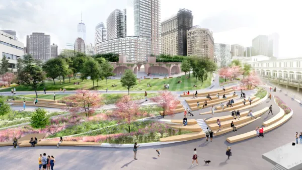
In Battery Park City, Public Infrastructure Meets Climate Resilience
A massive project underway in Lower Manhattan seeks to protect the shoreline from future flooding and mitigate the effects of climate change and rising sea levels.

Net Zero Development Coming to New York City
The project, which relies largely on geothermal energy to minimize its carbon footprint, will bring affordable housing and boost storm resilience to an area devastated by Hurricane Sandy.

National Parks Layoffs Will Cause Communities to Lose Billions
Thousands of essential park workers were laid off this week, just before the busy spring break season.

Retro-silient?: America’s First “Eco-burb,” The Woodlands Turns 50
A master-planned community north of Houston offers lessons on green infrastructure and resilient design, but falls short of its founder’s lofty affordability and walkability goals.

Delivering for America Plan Will Downgrade Mail Service in at Least 49.5 Percent of Zip Codes
Republican and Democrat lawmakers criticize the plan for its disproportionate negative impact on rural communities.

Test News Post 1
This is a summary

Test News Headline 46
Test for the image on the front page.

Balancing Bombs and Butterflies: How the National Guard Protects a Rare Species
The National Guard at Fort Indiantown Gap uses GIS technology and land management strategies to balance military training with conservation efforts, ensuring the survival of the rare eastern regal fritillary butterfly.
Urban Design for Planners 1: Software Tools
This six-course series explores essential urban design concepts using open source software and equips planners with the tools they need to participate fully in the urban design process.
Planning for Universal Design
Learn the tools for implementing Universal Design in planning regulations.
EMC Planning Group, Inc.
Planetizen
Planetizen
Mpact (formerly Rail~Volution)
Great Falls Development Authority, Inc.
HUDs Office of Policy Development and Research
NYU Wagner Graduate School of Public Service