


Watch out Walk Score, you've got some competition. Mapping company Maponics is measuring pedestrian-friendliness with a new tool called 'Walkability'. They measure several factors Walk Score doesn't, including crime, street type, and speed limit.
"With its newest tool, Maponics measures walkability in three categories: overall walkability, proximity to amenities (i.e. shopping centers, dry cleaners), and proximity to leisure (i.e. social and cultural options)," explains Ariel Schwartz. "When considering walkability, the company runs simulations through the road network to figure out how walkers get where they want to go. 'It's not just a matter of measuring proximity. It's accessibility. Can you get to places, or do you need to cross highway?' says [CEO Darrin] Clement. 'It's no good if there are multiple complex intersections.'"
"This isn't a consumer-facing tool," notes Schwartz, "but you might have access to it through other services. The tool is geared in particular towards the real estate space, where perceptions about modes of transportation and access to amenities affects where people want to live as well as home prices."
FULL STORY: How Walkable Is Your Neighborhood? This Mapping Data Juggernaut Now Knows

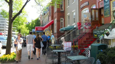
Is Your City One of America's Most Walkable?
Walk Score has released its 2014 ranking of Most Walkable U.S. Cities and Neighborhoods. Though New York's position at the top of the list would be easy to explain, one surprise made the top five.
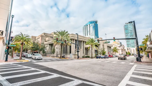
Orlando Pledges to Improve Walkability
A city report highlights successes and failures in building safer transportation infrastructure and reducing VMT in 2023.
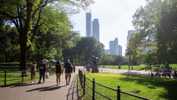
Green Spaces Benefit Neighborhoods—When Residents can Reach Them
A study comparing green space and walkability scores found that, without effective access to local parks, residents of greener neighborhoods don’t reap the health benefits.

National Parks Layoffs Will Cause Communities to Lose Billions
Thousands of essential park workers were laid off this week, just before the busy spring break season.

Retro-silient?: America’s First “Eco-burb,” The Woodlands Turns 50
A master-planned community north of Houston offers lessons on green infrastructure and resilient design, but falls short of its founder’s lofty affordability and walkability goals.

Delivering for America Plan Will Downgrade Mail Service in at Least 49.5 Percent of Zip Codes
Republican and Democrat lawmakers criticize the plan for its disproportionate negative impact on rural communities.

Test News Post 1
This is a summary

Test News Headline 46
Test for the image on the front page.

Balancing Bombs and Butterflies: How the National Guard Protects a Rare Species
The National Guard at Fort Indiantown Gap uses GIS technology and land management strategies to balance military training with conservation efforts, ensuring the survival of the rare eastern regal fritillary butterfly.
Urban Design for Planners 1: Software Tools
This six-course series explores essential urban design concepts using open source software and equips planners with the tools they need to participate fully in the urban design process.
Planning for Universal Design
Learn the tools for implementing Universal Design in planning regulations.
EMC Planning Group, Inc.
Planetizen
Planetizen
Mpact (formerly Rail~Volution)
Great Falls Development Authority, Inc.
HUDs Office of Policy Development and Research
NYU Wagner Graduate School of Public Service