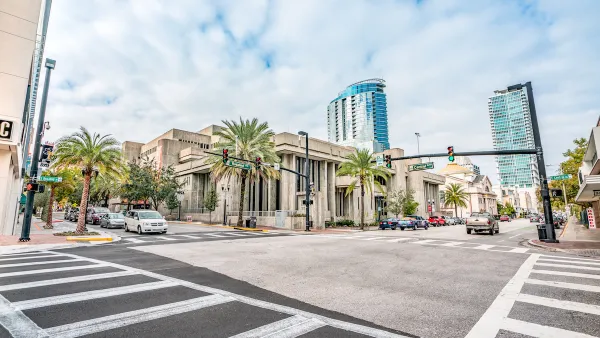
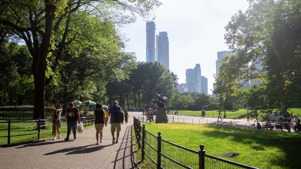
Walk Score has released its 2014 ranking of Most Walkable U.S. Cities and Neighborhoods. Though New York's position at the top of the list would be easy to explain, one surprise made the top five.
With walkability an increasingly important factor in where we chose to live, Walk Score's comprehensive evaluation of America's most pedestrian-friendly neighborhoods seems to only become more meaningful.
“For decades, Americans have tended to drive more every year, but that’s changing. Today commuting by bus, bike and foot are on the rise as more people choose apartments and homes in walkable neighborhoods and with shorter, cheaper and happier commutes,” said Josh Herst, CEO of Walk Score.
This year's top five cities are: New York, San Francisco, Boston, Philadelphia, and (perhaps surprisingly) Miami.
"The 2014 ranking of Most Walkable U.S. Cities and Neighborhoods is based on a proprietary algorithm and analysis of over 10 million addresses and over 2 billion walking routes to neighborhood amenities across 2,500 cities and more than 10,000 neighborhoods," says the company. "Walk Score’s ranking is the only national, quantitative walkability rating."
FULL STORY: 2014 Ranking of Most Walkable Cities & Neighborhoods

National Parks Layoffs Will Cause Communities to Lose Billions
Thousands of essential park workers were laid off this week, just before the busy spring break season.

Retro-silient?: America’s First “Eco-burb,” The Woodlands Turns 50
A master-planned community north of Houston offers lessons on green infrastructure and resilient design, but falls short of its founder’s lofty affordability and walkability goals.

Delivering for America Plan Will Downgrade Mail Service in at Least 49.5 Percent of Zip Codes
Republican and Democrat lawmakers criticize the plan for its disproportionate negative impact on rural communities.

Test News Post 1
This is a summary

Test News Headline 46
Test for the image on the front page.

Balancing Bombs and Butterflies: How the National Guard Protects a Rare Species
The National Guard at Fort Indiantown Gap uses GIS technology and land management strategies to balance military training with conservation efforts, ensuring the survival of the rare eastern regal fritillary butterfly.
Urban Design for Planners 1: Software Tools
This six-course series explores essential urban design concepts using open source software and equips planners with the tools they need to participate fully in the urban design process.
Planning for Universal Design
Learn the tools for implementing Universal Design in planning regulations.
EMC Planning Group, Inc.
Planetizen
Planetizen
Mpact (formerly Rail~Volution)
Great Falls Development Authority, Inc.
HUDs Office of Policy Development and Research
NYU Wagner Graduate School of Public Service


