


Google's Advanced Technology And Projects (ATAP) group has released information about the new Project Tango—a mobile device that tracks 3D motion, using the data to map user environments.
“Most mobile devices today assume that the physical world ends at the boundaries of the screen,” says Johhny Lee, project lead at ATAP, in a YouTube video introducing Project Tango.
The goal of the Project Tango device, however, “is to give mobile devices a human scale understanding of space and motion,” says Lee.
Rodrigo Caula describes the technology in a designboom article, providing ample evidence of why this technology might be so important to planners and designers of the built environment: “the built-in sensors allow the phone to make over a quarter million three-dimensional measurements every second, updating its position and orientation in real-time, combining that data into a single 3D map of the space around you.”
FULL STORY: google introduces project tango, a smartphone that creates 3D environments

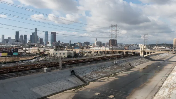
Gehry Partners Opens Up on Los Angeles River Progress
When Frank Gehry's involvement in the L.A. River restoration was announced in August 2015, the firm had already been conducting research on the project for nearly a year. For some time after that, details were scant and speculation abounded.
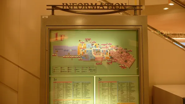
The Future of Mapping is Going Indoors
Cartographers have a new world to map, as technology opens up the interiors of malls, museums, and other large spaces to online exploration.

A Small Town's Game-Changing Approach to Mapping
Portsmoth, New Hampshire has created textured, 3D maps of its historic district to help illustrate development impacts during the approval process.

Analysis: Cybertruck Fatality Rate Far Exceeds That of Ford Pinto
The Tesla Cybertruck was recalled seven times last year.

National Parks Layoffs Will Cause Communities to Lose Billions
Thousands of essential park workers were laid off this week, just before the busy spring break season.

Retro-silient?: America’s First “Eco-burb,” The Woodlands Turns 50
A master-planned community north of Houston offers lessons on green infrastructure and resilient design, but falls short of its founder’s lofty affordability and walkability goals.

Test News Post 1
This is a summary

Analysis: Cybertruck Fatality Rate Far Exceeds That of Ford Pinto
The Tesla Cybertruck was recalled seven times last year.

Test News Headline 46
Test for the image on the front page.
Urban Design for Planners 1: Software Tools
This six-course series explores essential urban design concepts using open source software and equips planners with the tools they need to participate fully in the urban design process.
Planning for Universal Design
Learn the tools for implementing Universal Design in planning regulations.
EMC Planning Group, Inc.
Planetizen
Planetizen
Mpact (formerly Rail~Volution)
Great Falls Development Authority, Inc.
HUDs Office of Policy Development and Research
NYU Wagner Graduate School of Public Service