


Want to know the fastest way to get where you're going? You Are Here has created a new visualization tool that shows you the fastest mode for your trip in 11 cities.
Joseph Stromberg shares news of a new series of maps on the You Are Here site (Planetizen also provided earlier coverage of the site) that shows the fastest mode of transportation to get anywhere from a given point in the selected cities.
Here's how the maps work, as explained by You Are Here: "The maps is activated by selecting a specific departure point. Once the departure point is selected, the rest of the city will be colored based on the fastest mode of transportation. The point to which it's fastest to get to by bicycle are colored yellow, by public transit: blue, by walking: green, and by driving: red."
Cities mapped in the series include Manhattan, Portland, Santa Monica, Salt Lake City, and more.
FULL STORY: Best Mode of Transportation

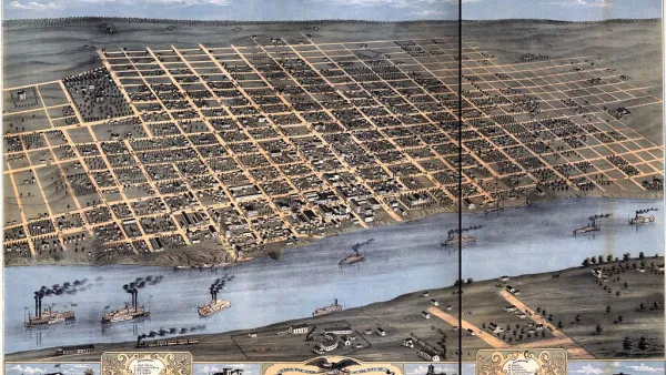
200 Years of Faster Travel Times
A post on Vox collects a series of maps from the "Atlas of the Historical Geography of the United States" showing how travel times changed over the past 200 years of U.S. history.
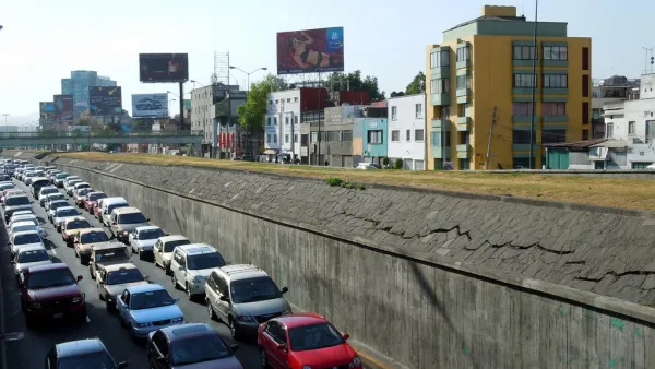
Why and Where Driving is a Rational Choice
A recently released tool for analyzing the efficiency of travel modes in cities around the country reveals that driving is almost always a better choice—at least in travel time—than transit.
Friday Eye Candy: 'You Are Here' Maps the Little Things
The Social Computing Group and the MIT Media Lab have launched the "You Are Here" project, mapping data points from cities where participants have lived. The project has colorful maps of bicycle crashes, coffee shops, and permanent visa applications.

National Parks Layoffs Will Cause Communities to Lose Billions
Thousands of essential park workers were laid off this week, just before the busy spring break season.

Retro-silient?: America’s First “Eco-burb,” The Woodlands Turns 50
A master-planned community north of Houston offers lessons on green infrastructure and resilient design, but falls short of its founder’s lofty affordability and walkability goals.

Delivering for America Plan Will Downgrade Mail Service in at Least 49.5 Percent of Zip Codes
Republican and Democrat lawmakers criticize the plan for its disproportionate negative impact on rural communities.

Test News Post 1
This is a summary

Test News Headline 46
Test for the image on the front page.

Balancing Bombs and Butterflies: How the National Guard Protects a Rare Species
The National Guard at Fort Indiantown Gap uses GIS technology and land management strategies to balance military training with conservation efforts, ensuring the survival of the rare eastern regal fritillary butterfly.
Urban Design for Planners 1: Software Tools
This six-course series explores essential urban design concepts using open source software and equips planners with the tools they need to participate fully in the urban design process.
Planning for Universal Design
Learn the tools for implementing Universal Design in planning regulations.
EMC Planning Group, Inc.
Planetizen
Planetizen
Mpact (formerly Rail~Volution)
Great Falls Development Authority, Inc.
HUDs Office of Policy Development and Research
NYU Wagner Graduate School of Public Service