


A post on Vox collects a series of maps from the "Atlas of the Historical Geography of the United States" showing how travel times changed over the past 200 years of U.S. history.
Phil Edwards offers some perspective on how far we've come in the past 200 years—or, put another way, how far we've come on how far we can go. For instance, "[back] in the early 1800s, without easily navigable roads or railroads, even a journey from New York to Washington, DC, was a multi-day affair."
Edwards shares a series of maps from the Atlas of the Historical Geography of the United States showing rates of travel at the moment of several technological and infrastructure breakthroughs, such as the construction of the National Road between 1811 and the 1830s and the Transcontinental Railroad in 1869.
One distinction to keep in mind, according to Edwards, is that the maps don't show a steady pace of progress, although change seems to have occurred quickly when looking back over the maps. "[The maps] also show how that progress advanced unevenly, in fits and starts. Railroads didn't reduce travel times right away — they still required significant infrastructure investments, ranging from laying down tracks to building tunnels. That took decades."
FULL STORY: Travel time is the forgotten breakthrough of the past 200 years

New Maps Compare Travel Times by Mode
Want to know the fastest way to get where you're going? You Are Here has created a new visualization tool that shows you the fastest mode for your trip in 11 cities.

Transportation Rx: Treating Traffic Glut Like Doctors Treat Sinus Congestion
To cure chronic traffic congestion, U.S. cities should consider a prescribed treatment approach, using technology and road pricing strategies to target the root cause instead of just managing the symptoms.
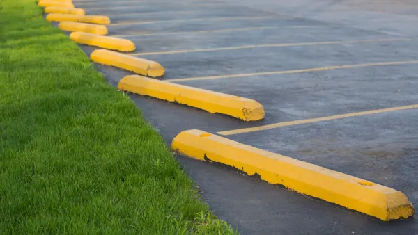
Maps: How Much of Your City is Parking?
The percentage of land dedicated to parking in the central districts of major U.S. cities ranges from 4 percent to as much as 42 percent.

National Parks Layoffs Will Cause Communities to Lose Billions
Thousands of essential park workers were laid off this week, just before the busy spring break season.

Retro-silient?: America’s First “Eco-burb,” The Woodlands Turns 50
A master-planned community north of Houston offers lessons on green infrastructure and resilient design, but falls short of its founder’s lofty affordability and walkability goals.

Delivering for America Plan Will Downgrade Mail Service in at Least 49.5 Percent of Zip Codes
Republican and Democrat lawmakers criticize the plan for its disproportionate negative impact on rural communities.

Test News Post 1
This is a summary

Test News Headline 46
Test for the image on the front page.

Balancing Bombs and Butterflies: How the National Guard Protects a Rare Species
The National Guard at Fort Indiantown Gap uses GIS technology and land management strategies to balance military training with conservation efforts, ensuring the survival of the rare eastern regal fritillary butterfly.
Urban Design for Planners 1: Software Tools
This six-course series explores essential urban design concepts using open source software and equips planners with the tools they need to participate fully in the urban design process.
Planning for Universal Design
Learn the tools for implementing Universal Design in planning regulations.
EMC Planning Group, Inc.
Planetizen
Planetizen
Mpact (formerly Rail~Volution)
Great Falls Development Authority, Inc.
HUDs Office of Policy Development and Research
NYU Wagner Graduate School of Public Service