


California has commenced new water use reporting requirements, which the Pacific Institute has compiled into an interactive map and database to provide accessible evidence about where the state's water goes.
"A new web app from the Pacific Institute shows how different California cities are responding to the ongoing drought. This web feature brings to life newly-released data on urban water use, and allows users to explore trends and patterns in that use," according to a post on the Pacific Institute's website.
The database is made possible by requirements dating back to July 2014 requiring urban water utilities with more than 3,000 customers to report water use each month. "These new data show total urban water use, as well as residential water use, i.e., the estimated portion used by residents in and around their homes."
As explained by the Pacific Institute, the database and map allows users to pose and answer questions about urban water use. "For example, why is water use higher or lower in some areas? How have cities responded to Governor Jerry Brown’s call to reduce their water use by 20 percent? Have high water users had more success at conservation than areas where water use was already low?"
FULL STORY: Interactive Map of California’s Urban Water Use


Californians Struggle To Cut Water Use
The state is slowly starting to curb water consumption, but progress has been ‘disappointingly slow’ as water supplies across the West diminish to historic lows.

Using Artificial Intelligence to Map Telecommuting Prevalence
In the Philadelphia region, residents of wealthier neighborhoods will be more likely to work from home in the future, thus altering travel patterns and transit usage, according to a new mapping project powered by artificial intelligence (AI).
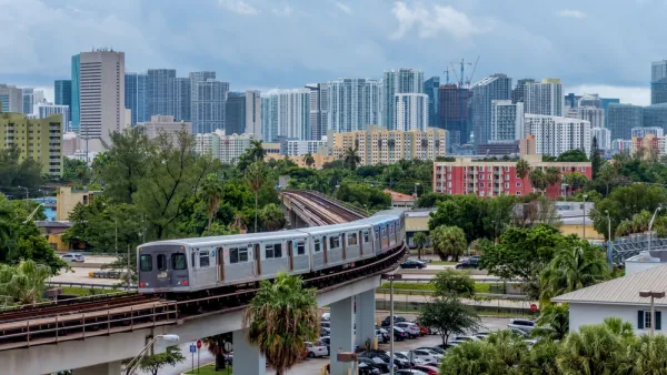
New Tool Puts Miami Development Opportunities on the Map
There's plenty of vacant or underutilized land to be found in Miami-Dade County, if you know where and how to look.

Analysis: Cybertruck Fatality Rate Far Exceeds That of Ford Pinto
The Tesla Cybertruck was recalled seven times last year.

National Parks Layoffs Will Cause Communities to Lose Billions
Thousands of essential park workers were laid off this week, just before the busy spring break season.

Retro-silient?: America’s First “Eco-burb,” The Woodlands Turns 50
A master-planned community north of Houston offers lessons on green infrastructure and resilient design, but falls short of its founder’s lofty affordability and walkability goals.

Test News Post 1
This is a summary

Analysis: Cybertruck Fatality Rate Far Exceeds That of Ford Pinto
The Tesla Cybertruck was recalled seven times last year.

Test News Headline 46
Test for the image on the front page.
Urban Design for Planners 1: Software Tools
This six-course series explores essential urban design concepts using open source software and equips planners with the tools they need to participate fully in the urban design process.
Planning for Universal Design
Learn the tools for implementing Universal Design in planning regulations.
EMC Planning Group, Inc.
Planetizen
Planetizen
Mpact (formerly Rail~Volution)
Great Falls Development Authority, Inc.
HUDs Office of Policy Development and Research
NYU Wagner Graduate School of Public Service