


New research provides sorely needed tools for illustrating the neighborhoods that suffer a lack of transportation options to access jobs and opportunity.
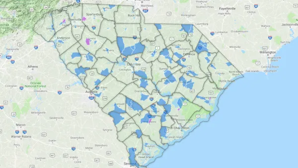
"Two Dutch researchers have developed a new way to identify where the residents are most at risk of transport poverty," according to an article by Cassie Ownes.
"Using their new index, [Karel] Martens and [Jeroen] Bastiaanssen first determine the 'average regional accessibility level.' Their formula assesses trips within zones against the number of jobs and poor households per census tract. Next, they reduce this regional average into fractions, like 20 percent or 30 percent of average access, to see where the transport poor might be."
Martens and Bastiaanssen produced original transit poverty maps to illustrate their work—exclusively for Next City—of Philadelphia, San Francisco, Seattle, and Houston.
FULL STORY: New Maps Size Up Transportation Poverty Risks in 4 Cities

District By District, Maps Trace Neighborhood Opportunity Across the U.S.
Down to the level of individual census tracts, a team of researchers has developed national maps showing where upward mobility is probable, and where it isn't.
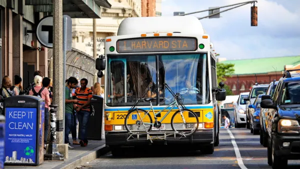
How Transportation Assistance Can Fight Homelessness
Transportation access is one of the biggest factors in keeping people out of homelessness. Cities can help with discounted fares and last-mile connections.

Poverty in the United States Explained
The Brookings Institution has provided a data-driven examination of the subject of poverty in the United States, to provide the kind of policy nuance and detail missing from the 2016 presidential campaign.

Analysis: Cybertruck Fatality Rate Far Exceeds That of Ford Pinto
The Tesla Cybertruck was recalled seven times last year.

National Parks Layoffs Will Cause Communities to Lose Billions
Thousands of essential park workers were laid off this week, just before the busy spring break season.

Retro-silient?: America’s First “Eco-burb,” The Woodlands Turns 50
A master-planned community north of Houston offers lessons on green infrastructure and resilient design, but falls short of its founder’s lofty affordability and walkability goals.

Test News Post 1
This is a summary

Analysis: Cybertruck Fatality Rate Far Exceeds That of Ford Pinto
The Tesla Cybertruck was recalled seven times last year.

Test News Headline 46
Test for the image on the front page.
Urban Design for Planners 1: Software Tools
This six-course series explores essential urban design concepts using open source software and equips planners with the tools they need to participate fully in the urban design process.
Planning for Universal Design
Learn the tools for implementing Universal Design in planning regulations.
EMC Planning Group, Inc.
Planetizen
Planetizen
Mpact (formerly Rail~Volution)
Great Falls Development Authority, Inc.
HUDs Office of Policy Development and Research
NYU Wagner Graduate School of Public Service