


Oakland, as the urban counterpart to San Francisco in the Bay Area, is on a lot of people's radar as a place to improve on some of the lessons of recent waves of urbanization. What planning precedents shaped the city on the other side of the Bay?
Egon Terplan and Magda Maaouidive into four of the seminal plans that created the city of Oakland, California as we know it today. Writing for SPUR, which is launching work in the city, Terplan and Maaoui focus on downtown, where the city and its grid were born.
The article examines four plans, as described in the article:
- The Kellersberger survey and grid (1852);
- The Robinson Plan, which emphasized civic infrastructure but was not implemented (1906);
- The Hegemann Report (1915), which resulted in the implementation of much of the Robinson Plan and included a regional vision for connecting to Berkeley; and
- The Bartholomew Plan, which ushered in planning for the automobile (1928)
The article is recommended reading for anyone who enjoys tracing the planning decisions of the distant past to the city of today, especially in a place as dynamic and fraught as Oakland, California.
If you're interested in following that reading up with an exploration of Oakland's present situation, read this in-depth analysis by Planetizen blogger Reuben Duarte.
FULL STORY: Four Plans That Shaped Downtown Oakland’s First 100 Years


Pittsburgh Moves Ahead With Zoning Changes for University-Adjacent Neighborhood
The implementation of a new master plan for the neighborhood of Oakland, home to the University of Pittsburgh, is moving forward despite controversy and a contentious community engagement process.

Comprehensive Planning Sucks. Here's One Attempt to Make It Better
Thirty community organizations have come together to deliver a response to Oakland's RFP for a comprehensive planning consultant. It's one of three proposals, but certainly the only one with cartoons.
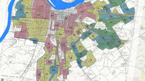
Story Mapping the Racism in Planning History
A Story Map created by the Louisville Metro Office of Planning & Design Services offers a detailed, visual presentation of the history of racism and discriminatory in the planning and zoning of the Louisville and Jefferson County.

National Parks Layoffs Will Cause Communities to Lose Billions
Thousands of essential park workers were laid off this week, just before the busy spring break season.

Retro-silient?: America’s First “Eco-burb,” The Woodlands Turns 50
A master-planned community north of Houston offers lessons on green infrastructure and resilient design, but falls short of its founder’s lofty affordability and walkability goals.

Delivering for America Plan Will Downgrade Mail Service in at Least 49.5 Percent of Zip Codes
Republican and Democrat lawmakers criticize the plan for its disproportionate negative impact on rural communities.

Test News Post 1
This is a summary

Test News Headline 46
Test for the image on the front page.

Balancing Bombs and Butterflies: How the National Guard Protects a Rare Species
The National Guard at Fort Indiantown Gap uses GIS technology and land management strategies to balance military training with conservation efforts, ensuring the survival of the rare eastern regal fritillary butterfly.
Urban Design for Planners 1: Software Tools
This six-course series explores essential urban design concepts using open source software and equips planners with the tools they need to participate fully in the urban design process.
Planning for Universal Design
Learn the tools for implementing Universal Design in planning regulations.
EMC Planning Group, Inc.
Planetizen
Planetizen
Mpact (formerly Rail~Volution)
Great Falls Development Authority, Inc.
HUDs Office of Policy Development and Research
NYU Wagner Graduate School of Public Service