


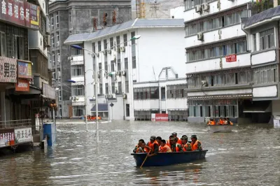
Cartographer Jeffrey Linn has compiled maps of how coastal China would look under risen seas. Over 40 percent of the country's population lives in potentially affected regions.
According to the Intergovernmental Panel on Climate Change (IPCC), "If the current trajectory continues, as many scientists fear it will, the world's sea level will rise dramatically, submerging many of world's current coastlines under more than 200 feet of water."
Following up on his nightmare-scenario maps of Seattle, L.A., San Diego, Portland, and Vancouver under 200 feet of risen sea, cartographer Jeffrey Linn has done the same for coastal China. The article includes several of Linn's depictions, which viewers can scroll over to compare current topography with a submerged future. Some highlights:
- Lowland Shanghai is completely submerged if all polar ice melted.
- Hong Kong is no more, with only hillside developments remaining.
- The Pearl River Delta, considered the world's largest megacity by some, is entirely hollowed out by water.
FULL STORY: Submerged: Mapping a Future China and its Rising Seas

How Cities Can Curb Climate Change and Protect Vulnerable Residents
A new U.N. report urges cities to upgrade their infrastructure to bolster climate resilience and build more sustainable, climate-friendly places.

Bay Area Developments at Risk From Sea Level Rise
A controversial proposed housing development in Newark exemplifies the struggle between increasing housing supply and protecting vulnerable shoreline communities from flooding.

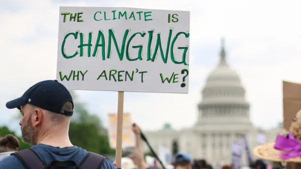
Visualizing the Effects of Sea Level Rise on U.S. Cities
A report from Climate Central calls for urgent action, illustrating the potential devastating impact of even a small rise in global temperature on the coastline of major cities.

National Parks Layoffs Will Cause Communities to Lose Billions
Thousands of essential park workers were laid off this week, just before the busy spring break season.

Retro-silient?: America’s First “Eco-burb,” The Woodlands Turns 50
A master-planned community north of Houston offers lessons on green infrastructure and resilient design, but falls short of its founder’s lofty affordability and walkability goals.

Delivering for America Plan Will Downgrade Mail Service in at Least 49.5 Percent of Zip Codes
Republican and Democrat lawmakers criticize the plan for its disproportionate negative impact on rural communities.

Test News Post 1
This is a summary

Test News Headline 46
Test for the image on the front page.

Balancing Bombs and Butterflies: How the National Guard Protects a Rare Species
The National Guard at Fort Indiantown Gap uses GIS technology and land management strategies to balance military training with conservation efforts, ensuring the survival of the rare eastern regal fritillary butterfly.
Urban Design for Planners 1: Software Tools
This six-course series explores essential urban design concepts using open source software and equips planners with the tools they need to participate fully in the urban design process.
Planning for Universal Design
Learn the tools for implementing Universal Design in planning regulations.
EMC Planning Group, Inc.
Planetizen
Planetizen
Mpact (formerly Rail~Volution)
Great Falls Development Authority, Inc.
HUDs Office of Policy Development and Research
NYU Wagner Graduate School of Public Service