


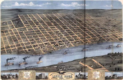
Using data from Microsoft, the New York Times has published an online map showing the placement of every building in the country, in a simple black and white format.
Platforms like Google Maps and Apple Maps may already have every building mapped, in a sense, but this new resource from The New York Times makes it far easier to discern patterns of development, density, and street layout. The key is a black and white format that shows the footprint of every building along with some minimal labeling of neighborhoods and streets.
The Times drew these images from a Microsoft database released to the public this year, with supplemental data from some state and local governments. Tim Wallace, Derek Watkins, and John Schwartz write, "The company's computer engineers trained a neural network to analyze satellite imagery and then to trace the shapes of buildings across the country. Such information has been available before in some places, but this is the first comprehensive database covering the entire United States."
They go on, "Classic maps answer questions like: How do I get from Point A to Point B? These data images, instead, evoke questions — sometimes, simply: What's that?" The piece highlights several developmental patterns that demonstrate the diversity and historical roots of America's built environment.
FULL STORY: A Map of Every Building in America

Map-Correcting App Shows 'The True Size Of' Places
Typical world maps badly misrepresent the size of countries; a new web app shows their true scale.
Mapping the Nation's Well-Being
Who's the happiest and healthiest of them all? The New York Times posts an interactive map of the national Gallup-Healthways Well-Being Index.

The Built Environment in 2022: Challenges and Opportunities
As climate change, the pandemic, and a historic housing crisis continue to impact the nation, experts weigh in on the issues that could shape the future of the built environment in 2022.

Analysis: Cybertruck Fatality Rate Far Exceeds That of Ford Pinto
The Tesla Cybertruck was recalled seven times last year.

National Parks Layoffs Will Cause Communities to Lose Billions
Thousands of essential park workers were laid off this week, just before the busy spring break season.

Retro-silient?: America’s First “Eco-burb,” The Woodlands Turns 50
A master-planned community north of Houston offers lessons on green infrastructure and resilient design, but falls short of its founder’s lofty affordability and walkability goals.

Test News Post 1
This is a summary

Analysis: Cybertruck Fatality Rate Far Exceeds That of Ford Pinto
The Tesla Cybertruck was recalled seven times last year.

Test News Headline 46
Test for the image on the front page.
Urban Design for Planners 1: Software Tools
This six-course series explores essential urban design concepts using open source software and equips planners with the tools they need to participate fully in the urban design process.
Planning for Universal Design
Learn the tools for implementing Universal Design in planning regulations.
EMC Planning Group, Inc.
Planetizen
Planetizen
Mpact (formerly Rail~Volution)
Great Falls Development Authority, Inc.
HUDs Office of Policy Development and Research
NYU Wagner Graduate School of Public Service