


The use of geographic information systems for the public good is a rapidly growing field. The technology shows great promise for discovering unequal distribution of resources and environmental racism, writes Peter Manzo.
"As Buckaroo Banzai and Buddhist sages put it, 'wherever you go, there you are.' But for too many people around the world, the inverse is true-wherever you are determines where you can go. Place matters to our quality of life far more than whether we can find good coffee or a particular kind of food or entertainment. Our prospects for enjoying clean air and water, healthy food, freedom from violence, and opportunities to learn may be tied more closely to where we live than any other characteristic. Place is where the intersection of race, class, and power is shown in starkest relief."
"...Advocates, planners and funders are increasingly using GIS mapping to analyze a host of issues. Civil rights lawyers, environmental justice activists, and community organizers are using maps to anchor dialogue with community members, adding their on-the-ground knowledge to "official" data, and also to make their case to policy makers and judges."
FULL STORY: Maps for Driving Change

An iPhone in the City
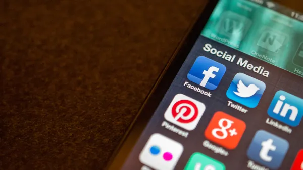
What's better than Twitter in the city? An iPhone. With a connection to the Internet, built-in camera, location-awareness, 3-access accelerometer and colorful display, the Apple iPhone has become much more than a mobile phone: it's a sophisticated mobile computing platform. Combine this technology with a library of thousands of programs and growing ecosystem of developers, the iPhone is powerful and versatile tool to transform how people interact with their surroundings. A growing number of iPhone apps are taking advantage of the phone's functionality to allow people to navigate, measure, observe, and interact with cities in new ways. This post describes some I have come across for e-government, urban sensing and interaction, and navigation. First, a caveat: I don't actually own one of the devices myself and haven't tested the apps (yet). I've certainly missed many, so leave your favorites in the comments below.

Location Data Could Unlock a Less Car-Centric Future
A report from the Brookings Institution shows how planners can use new types of anonymized data to inform mobility planning decisions.
A Public Transit App for Knoxville, Tennessee
Years after other cities implemented transit trackers, Knoxville is getting a bus tracker to help commuters move through the city.

National Parks Layoffs Will Cause Communities to Lose Billions
Thousands of essential park workers were laid off this week, just before the busy spring break season.

Retro-silient?: America’s First “Eco-burb,” The Woodlands Turns 50
A master-planned community north of Houston offers lessons on green infrastructure and resilient design, but falls short of its founder’s lofty affordability and walkability goals.

Delivering for America Plan Will Downgrade Mail Service in at Least 49.5 Percent of Zip Codes
Republican and Democrat lawmakers criticize the plan for its disproportionate negative impact on rural communities.

Test News Post 1
This is a summary

Test News Headline 46
Test for the image on the front page.

Balancing Bombs and Butterflies: How the National Guard Protects a Rare Species
The National Guard at Fort Indiantown Gap uses GIS technology and land management strategies to balance military training with conservation efforts, ensuring the survival of the rare eastern regal fritillary butterfly.
Urban Design for Planners 1: Software Tools
This six-course series explores essential urban design concepts using open source software and equips planners with the tools they need to participate fully in the urban design process.
Planning for Universal Design
Learn the tools for implementing Universal Design in planning regulations.
EMC Planning Group, Inc.
Planetizen
Planetizen
Mpact (formerly Rail~Volution)
Great Falls Development Authority, Inc.
HUDs Office of Policy Development and Research
NYU Wagner Graduate School of Public Service