


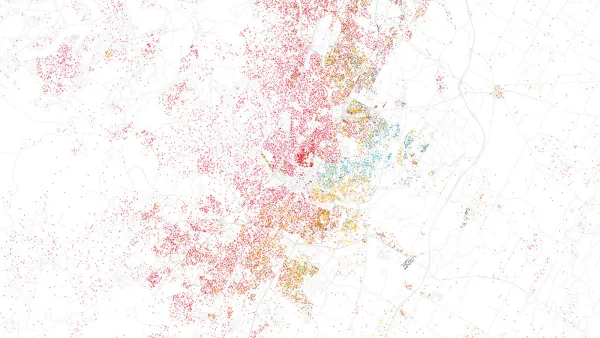
ESRI's CityEngine software enables 3D modeling of urban environments. The forthcoming version of the software will enable developers to use the 3D city modeling technology in their own software.

ESRI's CityEngine software enables tech-savvy users to create 3D city models in a fraction of the time previously required for 3D modeling. The software has been popular with cities and counties who need to model 3D urban environments, particularly for analyzing urban planning projects or modeling the impact of zoning changes.
Recently, the software has been adopted by computer game developers and movie studios to create complex and realistic 3D urban environments. For example, CityEngine was used to create the urban vistas of Superman's home, Metropolis, in the recent movie, Man of Steel.
The new version of CityEngine will include a software development kit, or SDK, that enables software developers to use the CityEngine's 3D generation technology in their own products, such as games. However, the potential also exists for enterprising urban planning technologists to use the SDK as well.
"CityEngine's procedural generation means that generating an entire 3D city can be done at the click of a button once a developer has written a script, instead of modelling buildings and blocks one-by-one in a conventional modelling program," writes Computerworld's Rohan Pearce.
Pearce quotes Gert van Maren, who is Esri's product manager for 3D: "To model a city of a 100,000 buildings, we just write some code and the city gets modelled. You write the code in an hour, then you hit a button and the city gets created in a couple of minutes; whereas if you have to do it manually, 100,000 buildings would take you quite a while."
Local governments who will be early adopters of the software include "Townsville in Queensland and the Auckland City Council in New Zealand, which has used it in the process of drawing up its Unitary Plan for the future of development in the city."
FULL STORY: Tech behind Man of Steel's Metropolis coming to a developer near you


Esri Sets Up COVID-19 GIS Hub
The planning profession can contribute to the worldwide fight to control the spread of COVID-19. GIS technology, for instance, allows real-time monitoring of the pandemic.
Esri App Makes Data Visualization Easy
A wealth of pre-authored policy maps lets users access data to explore public policy issues.
Rumor: Microsoft To Buy ESRI?
So if both Microsoft and ESRI are concerned about the Google's move into mapping with the impressive Google Earth, then perhaps a Microsoft-ESRI combination would be the way to fight back. Wow. That's a big rumor.

National Parks Layoffs Will Cause Communities to Lose Billions
Thousands of essential park workers were laid off this week, just before the busy spring break season.

Retro-silient?: America’s First “Eco-burb,” The Woodlands Turns 50
A master-planned community north of Houston offers lessons on green infrastructure and resilient design, but falls short of its founder’s lofty affordability and walkability goals.

Delivering for America Plan Will Downgrade Mail Service in at Least 49.5 Percent of Zip Codes
Republican and Democrat lawmakers criticize the plan for its disproportionate negative impact on rural communities.

Test News Post 1
This is a summary

Test News Headline 46
Test for the image on the front page.

Balancing Bombs and Butterflies: How the National Guard Protects a Rare Species
The National Guard at Fort Indiantown Gap uses GIS technology and land management strategies to balance military training with conservation efforts, ensuring the survival of the rare eastern regal fritillary butterfly.
Urban Design for Planners 1: Software Tools
This six-course series explores essential urban design concepts using open source software and equips planners with the tools they need to participate fully in the urban design process.
Planning for Universal Design
Learn the tools for implementing Universal Design in planning regulations.
EMC Planning Group, Inc.
Planetizen
Planetizen
Mpact (formerly Rail~Volution)
Great Falls Development Authority, Inc.
HUDs Office of Policy Development and Research
NYU Wagner Graduate School of Public Service