


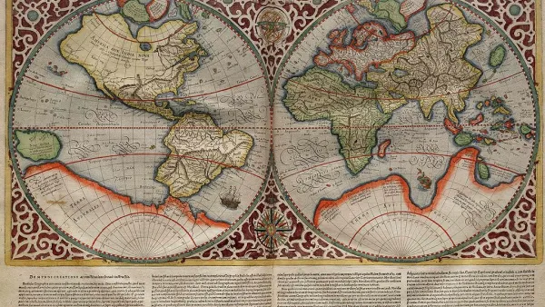
A new exhibition on Greco-Roman mapmaking at the Institute for the Study of the Ancient World in New York examines the relationship between geographic and metaphysical world views.
"Long before people could look upon Earth from afar, completing a full orbit every 90 minutes, the Greeks and the Romans of antiquity had to struggle to understand their world’s size and shape," writes John Noble Wilford. "Their approaches differed: the philosophical Greeks, it has been said, measured the world by the stars; the practical, road-building Romans by milestones."
A new exhibition, “Measuring and Mapping Space: Geographic Knowledge in Greco-Roman Antiquity,” which runs through Jan. 5 at the Institute for the Study of the Ancient World in New York City, seeks to explore the cognitive foundation underlying mapmaking, from the ancient world to the present.
"All in all, whether guided by the stars or by imperial roads, the Greeks and the Romans did well in preparing the way to geographic knowledge of worlds known and unknown, real and imaginary," he notes. "They anticipated modern concepts of mapmaking: anything that can be spatially conceived can be mapped."
FULL STORY: The World as They Knew It

Mapped: Every Building in the United States
Using data from Microsoft, the New York Times has published an online map showing the placement of every building in the country, in a simple black and white format.
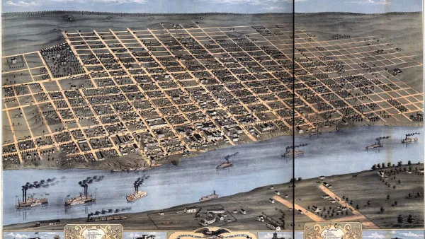
Friday Eye Candy: Charting Road Maps By Hand
In the days before Google Maps, when AAA TripTiks and Thomas Guides ruled the planet…
Map-Correcting App Shows 'The True Size Of' Places
Typical world maps badly misrepresent the size of countries; a new web app shows their true scale.

National Parks Layoffs Will Cause Communities to Lose Billions
Thousands of essential park workers were laid off this week, just before the busy spring break season.

Retro-silient?: America’s First “Eco-burb,” The Woodlands Turns 50
A master-planned community north of Houston offers lessons on green infrastructure and resilient design, but falls short of its founder’s lofty affordability and walkability goals.

Delivering for America Plan Will Downgrade Mail Service in at Least 49.5 Percent of Zip Codes
Republican and Democrat lawmakers criticize the plan for its disproportionate negative impact on rural communities.

Test News Post 1
This is a summary

Test News Headline 46
Test for the image on the front page.

Balancing Bombs and Butterflies: How the National Guard Protects a Rare Species
The National Guard at Fort Indiantown Gap uses GIS technology and land management strategies to balance military training with conservation efforts, ensuring the survival of the rare eastern regal fritillary butterfly.
Urban Design for Planners 1: Software Tools
This six-course series explores essential urban design concepts using open source software and equips planners with the tools they need to participate fully in the urban design process.
Planning for Universal Design
Learn the tools for implementing Universal Design in planning regulations.
EMC Planning Group, Inc.
Planetizen
Planetizen
Mpact (formerly Rail~Volution)
Great Falls Development Authority, Inc.
HUDs Office of Policy Development and Research
NYU Wagner Graduate School of Public Service